
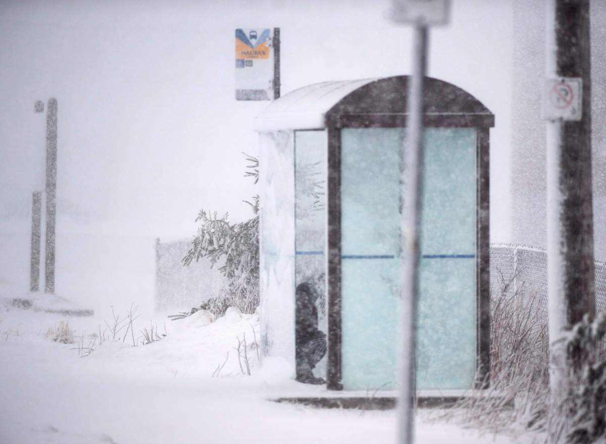
Get ready Halifax. It looks like even more snow is coming our way.

Environment Canada says a low-pressure system will approach the region on Sunday, bringing 30 centimetres of snow or more with it.
“While it is difficult to give details this far in advance, all indications show a major snowfall event for areas north of the track of the low,” Environment Canada said in a special weather statement issued Wednesday.
READ MORE: Messy mix of snow and rain prompts school closures, cancellations across the Maritimes
The statement says the system will bring snow, rain and the potential for an extended freezing rain event for surrounding regions.
“The precipitation will be accompanied by very strong east to northeast winds ahead of the low’s track, shifting to very strong southerly winds south of its track,” the advisory reads.
Along with the large amount of snowfall, the national weather forecaster says some regions could receive more than 50 millimetres of rain. The tracks for the system range from central New Brunswick to the Atlantic Coast of Nova Scotia.

Get breaking National news
“Because the track of the low will be critical in determining how much snow, rain or freezing rain any location will get, even a slight shift in its track will have major effects on the type and amount of precipitation received,” Environment Canada writes.
- Inquiry hears avalanche danger moderate on day of 2021 fatal Banff snow slide
- Air quality warning in Edmonton, much of Alberta due to N.W.T. wildfire smoke
- How do wildfires create lightning, pyro tornadoes and thunderstorms?
- Federal Court orders Edmonton prison to act on complaints about extreme heat


WATCH: Haligonians attempt to stay dry in face of wet winter weather
_848x480_1422920259655.jpg?w=1040&quality=70&strip=all)
The weather agency says details on rain and snowfall total will become clearer in the days to come.
Comments
Want to discuss? Please read our Commenting Policy first.