

Temperatures near -30 C and wind chill values in the mid -30s are cold, but they can go lower — and they will.

Cold temperatures are all over the eastern prairies. Northern Manitoba is covered with Extreme Cold Warnings with wind chill values expected to range from -45 to -50.

In southern Manitoba, the warnings criteria is when Environment and Climate Change Canada (ECCC) expected temperatures or wind chill values to reach -40 for two hours or more.
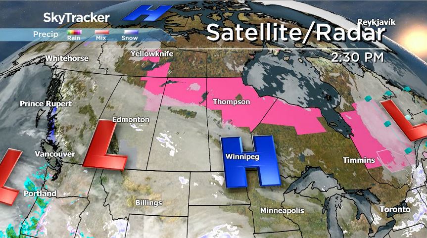
Cold air is streaming south from the arctic from a high pressure system at roughly the same latitude as the northern tip of Baffin Island. With another high pressure sitting right over the Red River Valley area, it’s blocking, to some degree, that steady stream of cold air but as it moves southeast, that arctic air will be more noticeable.


The coldest days of this current cold snap will land on Friday and Saturday morning in southern Manitoba. At that time, Extreme Cold Warnings could be issued by ECCC. And while the mornings will be bitterly cold, the afternoons do not look much warmer.

Forecast models seem to agree that the best chance for a day above -20 C in the near future is Monday. As for a return to normal temperatures, that will likely take longer. More towards the middle or end of next week is when temperatures look to return to normal or maybe even a little warmer than that.
But cheer up, Manitoba: Even though it’s very chilly outside, none of these temperatures break any cold weather records.
- Train goes up in flames while rolling through London, Ont. Here’s what we know
- Wrong remains sent to ‘exhausted’ Canadian family after death on Cuba vacation
- Liberals having ‘very good’ budget talks with NDP, says Freeland
- Peel police chief met Sri Lankan officer a court says ‘participated’ in torture
Comments