

The first big blast of winter hit parts of the South Coast on Tuesday.

WATCH: Snowfall warning in effect for parts of B.C.’s South Coast

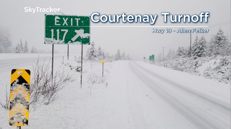
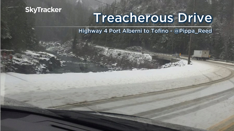
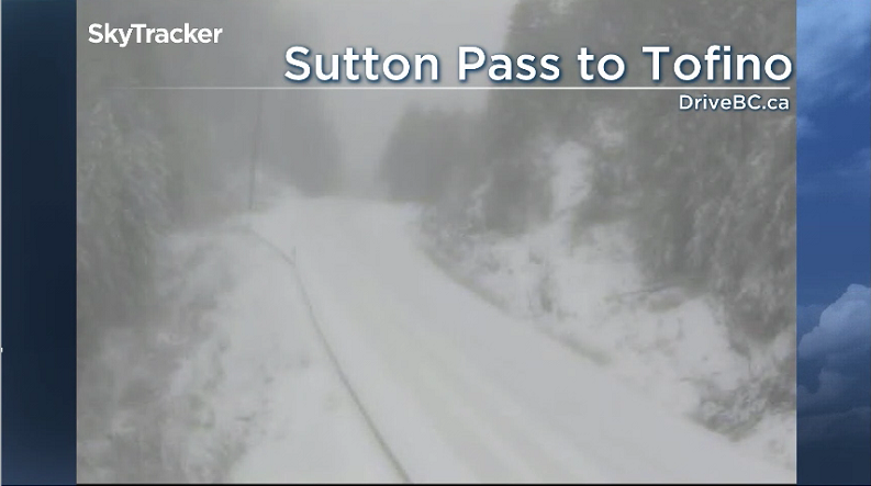
Vancouver Island was the hardest hit, with five to 12 centimetres of snow. Travel was treacherous on Highway 19 from Comox to Port Hardy and on Highway 4 from Port Alberni to Tofino.
Meanwhile, parts of Nanaimo received several hours of wet snow, but temperatures warmed up in the afternoon and the snow changed to rain.
Parts of Vancouver Island could see another few centimetres of snow this evening, but conditions will change to rain overnight.

Get breaking National news
WATCH: Cold weather sweeps across areas of B.C.

The east coast from Comox to Sayward could see another five centimetres before that transition. By morning, though, the snow-covered roads will likely be gone, as heavy rain overnight will wash the snow away.
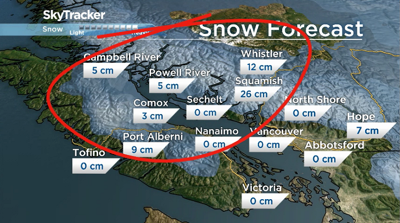


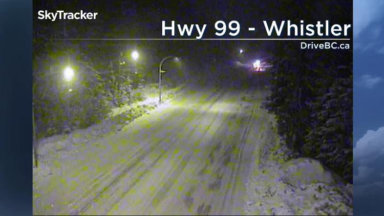
Now, the main concern is the Sea-to-Sky Highway north of Squamish up to Whistler. The region is expecting 15 to 20 cm of snow overnight and strong gusts up to 70 km/h. Whiteout conditions are likely. Drivers are urged to wait until the mid morning hours before heading out.
WATCH: (Aired Jan. 7, 2019) Certain parts of B.C.’s South Coast expecting snow. Here’s the worst-case-scenario.

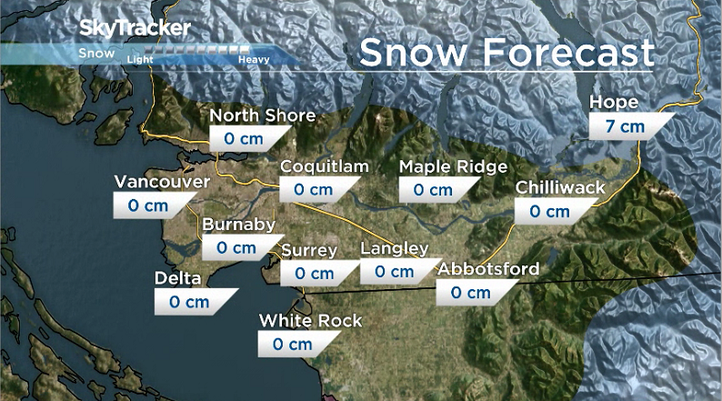
Meanwhile, as expected, the Lower Mainland missed the snow today. Other than a few wet flakes, it was mainly a rain event and will continue to be for the next two days. However Hope could see another two to four centimetres of snow overnight.
Environment Canada has snowfall and wind warnings in effect for the following regions: Inland Vancouver Island, East Coast of Vancouver Island, Howe Sound & Sea-to-Sky, Whistler, Sunshine Coast and North Vancouver Island.
WATCH: Winter weather forecast: What Canadians can expect from coast to coast

Comments
Want to discuss? Please read our Commenting Policy first.