
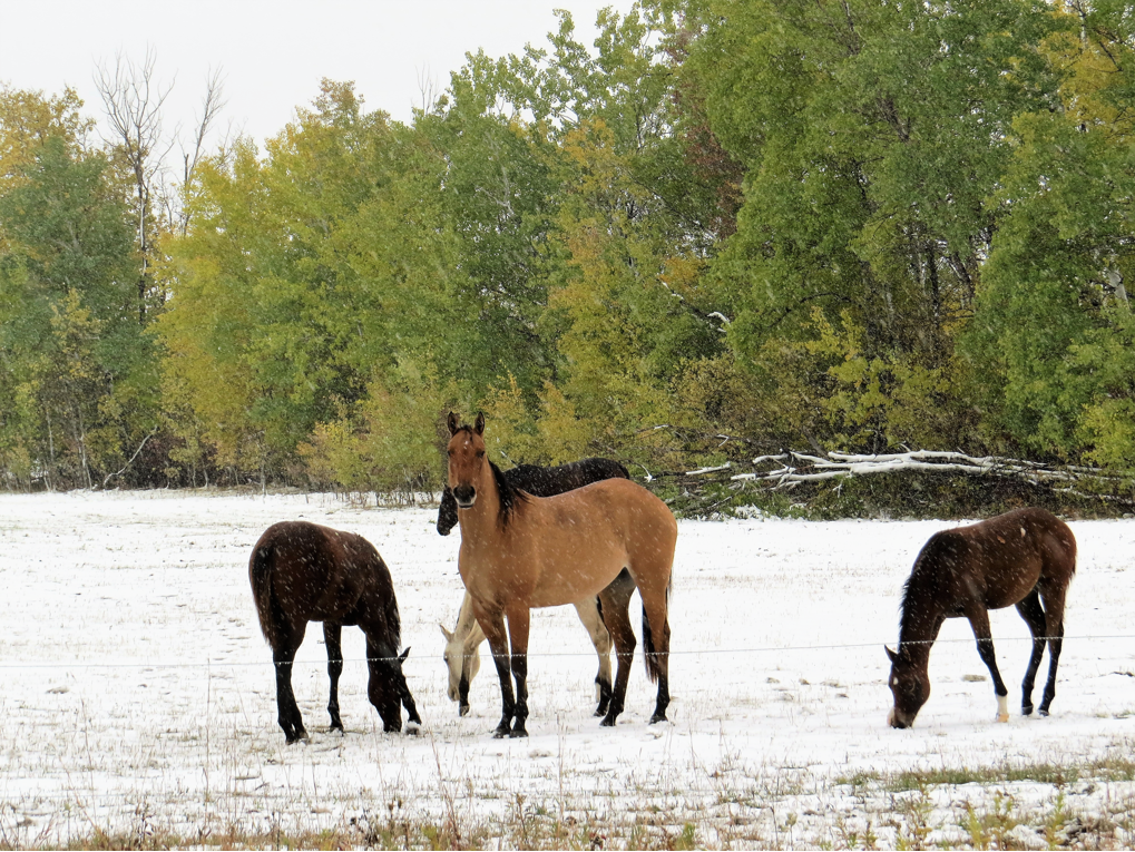
Winnipeg was on pace for one of the coldest Octobers on record. After the first half of the month, the daily mean temperature put October 2018 in Winnipeg as the coldest start to October in more than 100 years and the second coldest since 1872 (when records began).

Winnipeg started off with temperatures comparable to the coolest on record in the city. Here’s the Top 10 coldest Octobers since 1872 from Environment and Climate Change Canada.

Get daily National news
| Year | Mean Temperature-October |
| 2002 | -0.5° |
| 1887 | 0.4° |
| 1925 | 0.6° |
| 1917 | 0.8° |
| 1919 | 0.8° |
| 1881 | 1.3° |
| 1991 | 1.8° |
| 1878 | 1.9° |
| 1936 | 1.9° |
| 1873 | 2.2° |
Of course, the latter half of October was not the same. On Oct. 18, Winnipeg, Gretna, Gimli and Pinawa all set record high temperatures.
Winnipeg’s official temperature reading on this day was 23.6° Celsius.


RELATED: Temperatures in southern Manitoba soar to record-breaking highs
The second half of October helped move the daily mean temperature up slightly. Winnipeg got over 10 C five times bringing the monthly total to seven. As you might expect, with this being a cooler month this is less than normal. Typically the city will reach the 10 C mark 16 times.
Winnipeg finished October with a daily mean temperature of 2.9 C which is below the normal 5 C. It’s the coldest October since 2002 where the daily mean temperature was -0.5 C.
RELATED: Fall weather forecast: What Canadians can expect from coast to coast
As for precipitation, rain and snow amounts were close to normal. According to ECCC, average rainfall in October is 32.7 mm and average snowfall is 4.8 cm. This month, one measuring site registered 30.4 mm of rain and 5.6 cm of snow.
Comments
Want to discuss? Please read our Commenting Policy first.