
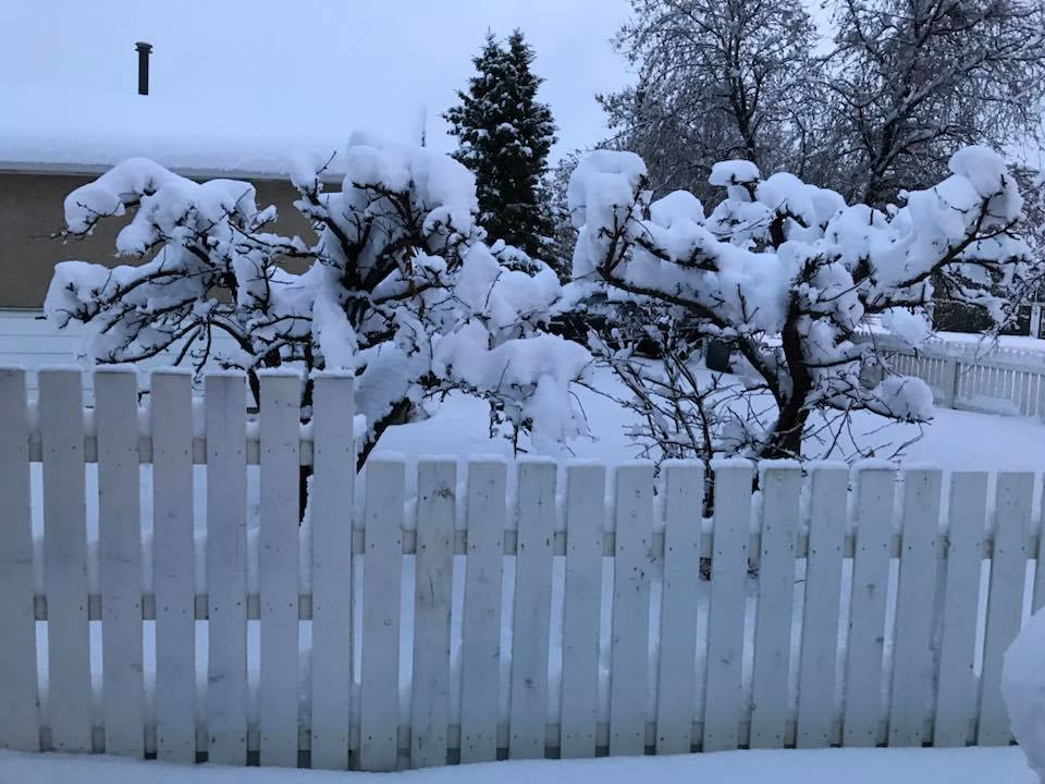
Residents of northeastern B.C. should prepare for up to 10 centimetres of snow to fall on the region on Tuesday.

Environment Canada says a cold front is expected to drop out of the Northwest Territories, bringing unseasonably cold temperatures to residents of areas like Fort St. John, Dawson Creek and Prince George.
Those travelling through the area including Pine Pass and Highway 97 are advised to prepare for rapidly changing weather and road conditions.

Get breaking National news
The amount of accumulated snow will vary widely, due to melting upon contact with the ground.
Environment Canada says between two and 10 centimetres are expected to fall, with greater accumulations likely over the higher terrain.
At this time, a snowfall warning has not been issued for the region.
- Old Man Winter wallops B.C.’s Mainland/Southwest region, major highway closed
- Calgary hit by unexpected blast of spring snow, causing dozens of crashes
- False spring strikes again: Saskatchewan prepares for incoming winter weather
- Albertans’ interest in alternative forms of travel growing as fuel prices spike


Parts of Alberta are also bracing for some snow due to this moving cold front.
In the higher terrain of west-central Alberta, particularly between Grande Prairie and Jasper, the precipitation will likely fall as snow on Wednesday.
Environment Canada said current indications are somewhere between five and 10 centimetres of heavy, wet snow to fall, but some areas may receive more than 10 centimetres.
— with files from Karen Bartko
Comments
Want to discuss? Please read our Commenting Policy first.