

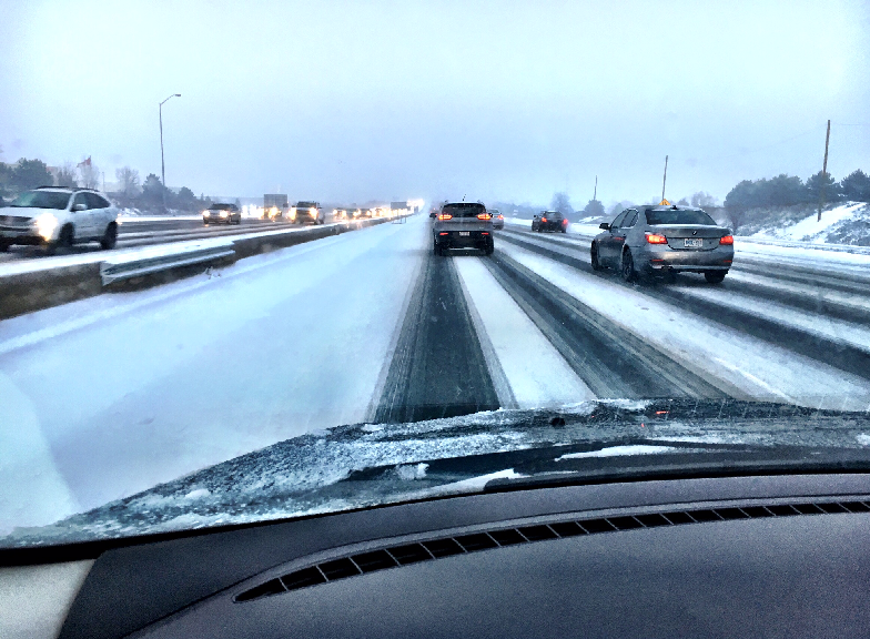
The Greater Toronto Area is expecting its first significant snowfall of the season with a special weather statement in effect for the region.

Environment Canada said a cold, Arctic wind will make its way across Southern Ontario beginning Monday.
Global News meteorologist Ross Hull said there are two parts to the “snow event.”
“Part one is a cold front which will slide through the GTA Sunday night — this is not expected to be a significant snow maker — however, with a heavy burst of snow in a short period of time along with gusty winds there could be some reduced visibility out on the roads tonight.”

Get breaking National news
Hull said there shouldn’t be more than 1 to 2 cm Sunday — the more significant snowfall will take place Monday evening beginning at 7 p.m., and go into Tuesday, with 5 to 10 cm expected.
- Patient stabbed in Edmonton ER waiting room as dozens witness attack
- From ‘bird leg syndrome’ to solar storms: Roberta Bondar breaks down Artemis II mission
- Iran calls on the public to find the ‘enemy pilot’ as the US continues a frantic search
- CFIA continues recall for Tim Hortons heat-activated mugs after reports of burn risk


This would be the most snow the GTA has seen this season.
Hull said the most that has fallen so far in one day this winter was Nov. 19, when 1.2 cm of snow was recorded.
Comments
Want to discuss? Please read our Commenting Policy first.