

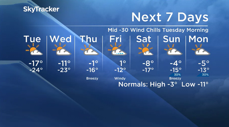
Another arctic blast is set to swing in with -30 to -40 wind chills!

Saskatoon Forecast
Monday
A cold front greeted Saskatonians Monday morning with light snow to start the day and temperatures in minus double digits before cool west-northwesterly winds kicked in.
Sustained speeds of 55 km/h with gusts in excess of 70 km/h made for a wild morning with blowing snow reducing visibility to one kilometre as the mercury fell back from -7 to minus double digits by noon.
We continue to cool back into the minus teens with wind chills into the mid -20s behind the front during the afternoon under a mix of sun and cloud with winds remaining strong, gusting upwards of 70 km/h.

Get daily National news
Monday Night
Clouds are expected to stick around at times tonight with winds easing and skies clearing overnight as we drop even further into the -20s.
Tuesday
An arctic high pressure slides us back into the frigid conditions on Tuesday with wind chills making it feel like -34 in the morning, improving into the mid -20s as temperatures rise into the minus teens in the afternoon.


Lots of sunshine is expected to dominate the day with a few clouds filtering through at times.

Wednesday-Friday
A building upper ridge will start building us back toward minus single digits Wednesday, then toward and likely even above the freezing mark by week’s end.

Clouds are expected to return Wednesday before some late day clearing, before building back in Thursday and then clearing back out on Friday as a low pressure system and coupled cold front swings through and cools us right back off again behind a system.
Weekend Outlook
The upcoming weekend looks to be quite similar to this past weekend with a cooler Saturday behind the cold front with lots of sunshine and temperatures toward minus double digits and a warm up on Sunday with some more clouds.
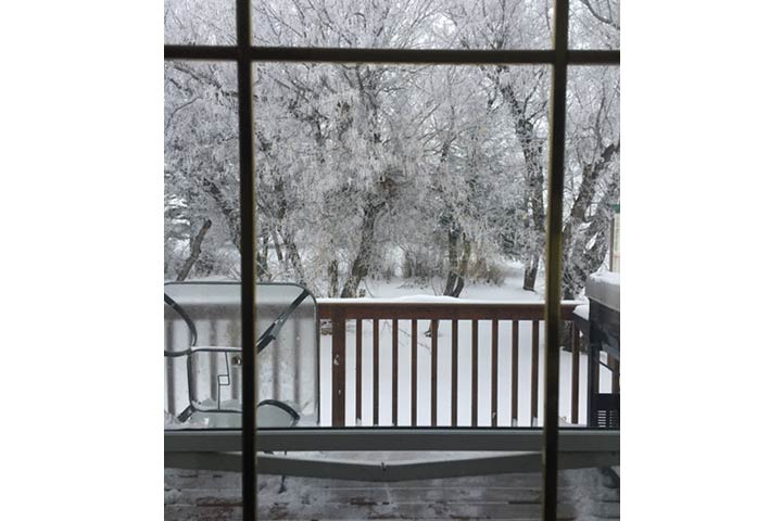
Kari Cenciose took this Nov. 20 Your Saskatchewan photo near LeRoy:
Saskatoon weather outlook is your source for Saskatoon’s most accurate forecast and is your one stop shop for all things weather for central and northern Saskatchewan with comprehensive, in-depth analysis that you can only find here.
Comments
Want to discuss? Please read our Commenting Policy first.