

A special weather statement has ended for London and all of southern Ontario.

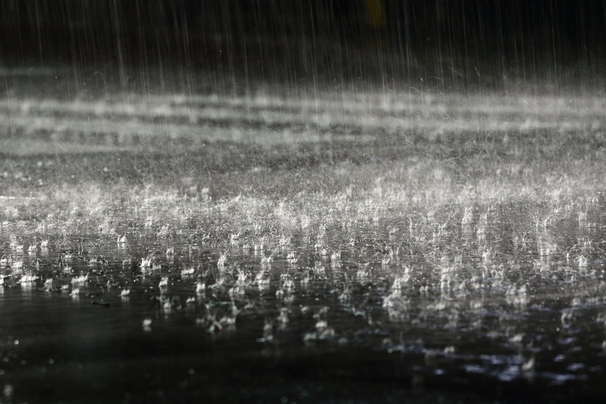
A “significant April rainfall” forecasted by Environment Canada moved through the region Monday night and began to taper off Tuesday morning, promting the national weather service to lift the statement.
“Significant April rainfall developing tonight due to a Texas low that is tracking northeastward,” reads the advisory, which also covers portions of northern Ontario. Rainfall amounts of 15 to 30 millimetres are likely, with higher amounts possible in areas with thunderstorm activity.
“The showers are going to continue on and off through the evening rush hour and may slow things down a little bit,” said Geoff Coulson, a warning preparedness meteorologist with Environment Canada. “Steadier rain is going to develop through the evening hours and that’s when we’ll probably get the bulk of the rainfall amounts from late this evening through into the early morning hours on Tuesday.”
The heavier showers will taper off Tuesday morning, turning to periods of rain that will last throughout the day. Tuesday’s daytime high is 11 C, falling to 6 C by 5 p.m. In addition to showers, strong southeasterly wind gusts of about 60 km/h are expected Monday night.
According to forecasters, cloudy, damp conditions will continue throughout the work week. Wednesday will see cloudy skies and a high of 10 C, while Thursday will see rainy conditions and a high of 7 C.

Another system moving in later this week could bring temperatures cold enough for a mix of rain and snow Thursday night into Friday morning, Coulson said.
Things will warm up on the weekend with expected highs of 12 C on Saturday and 15 C on Sunday.
The average high for this time of the year is 10 C.
— With files from Jacquelyn LeBel and Travis Dolynny
Comments