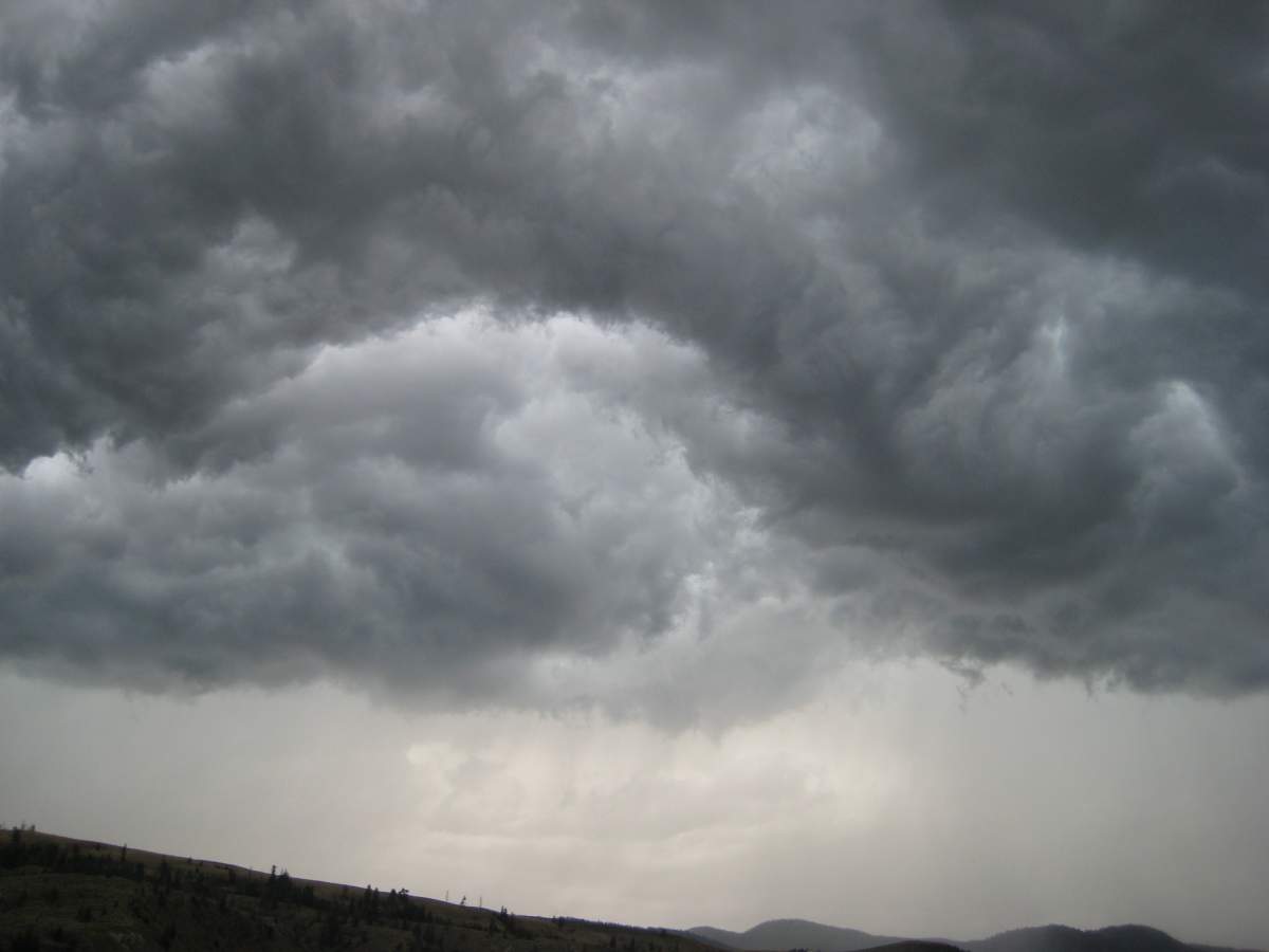
EDMONTON – Conditions are ripe in parts of the province for the development of “dangerous thunderstorms” that might bring “large hail and torrential rain,” according to Environment Canada.

The weather authority has issued a wind warning for the Capital Region. A severe thunderstorm watch was in place for Edmonton for part of the afternoon, however, it has since been dropped.
You can see all the other areas affected here.
WATCH: Kevin O’Connell’s weather forecast from Thursday’s News Hour
Wind warnings are issued when there is a significant risk of damaging winds.
Gusts up to 90 kilometres per hour are expected in some areas, according to Environment Canada, which also predicts that the winds will weaken as the system moves east Friday afternoon.
Environment Canada says a trough of low pressure streching from Drayton Valley to Lloydminster is expected to trigger thunderstorms through central Alberta Thursday afternoon.


“Rain will develop overnight continuing throughout the day tomorrow. The heaviest rain will fall in areas west and northwest of Edmonton. They could receive upwards of 50 millimetres. The city could see 15 to 25 mm.”

Get daily National news
There are also rainfall warnings in effect for parts of western Alberta and wind warnings in the southwestern tip of the province.
READ MORE: Environment Canada admits to differing standards of weather coverage
To get your weather forecast on the go, download our Skytracker weather app.
Comments
Want to discuss? Please read our Commenting Policy first.