
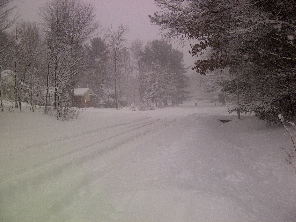
TORONTO – Though Toronto has escaped any significant snowfall this season, the city may get its first real taste of winter this weekend.

Environment Canada has issued a special weather statement calling for widespread snow throughout southern Ontario over the weekend.
A weather system is making its way up from the southern United States and is expected to track northeast towards the Great Lakes. There is some uncertainty as to the path it will take, but it is likely to impact southwestern Ontario Friday night and then spread northeast Saturday.
Current models suggest that areas can expect 5 to 10 cm of snowfall by Saturday night.
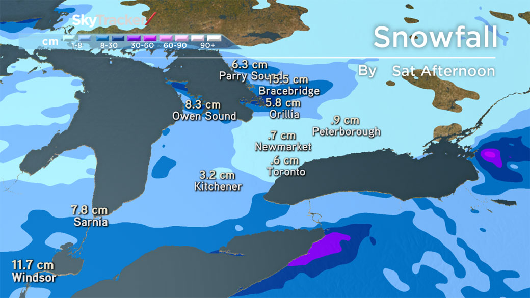


There is the potential for higher snowfall amounts in local areas around the west end of Lake Ontario as the cold westerly winds pick up extra moisture from the comparatively milder water from the lake.
If the system tracks a bit further north than expected, it could bring higher snowfall amounts further north than forecast. It would also mean higher snowfall amounts closer to the lake by Sunday morning.

Get daily National news
Motorists are encouraged to monitor road conditions and drive accordingly.
Watch Chief Meteorologist Anthony Farnell’s forecast on Global’s News Hour for the latest on the weather.
For more info on Toronto weather, visit our Skytracker page.
- Police watchdog investigates fatal fall from Toronto hotel balcony
- Integrity commission lays out philosophy ahead of skills development fund investigation
- Waterloo region cites water capacity issues amid population boom, aging infrastructure
- Shelter-in-place lifted after suspect, officer exchange fire in Welland, Ont., SIU probing


Comments