
Don’t put those snow shovels away quite yet.

Environment Canada is forecasting a cold and unsettled air mass will head over the South Coast later today and will stick around through the weekend and into early next week.
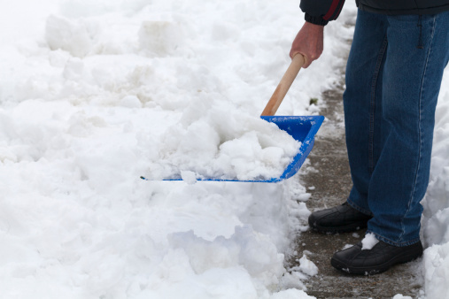
With temperatures expected to drop further, Environment Canada says the potential for snow will begin Friday night and increase for Saturday and Sunday as an area of low pressure develops off the west coast of Vancouver Island.
READ MORE: Significant snowfall forecast for Coquihalla
While showers are expected to be intermittent during the weekend, Environment Canada said they could change quickly into heavy flurries.
Local snowfall accumulations of a few centimetres are possible across the region due to this unsettled weather pattern.


A snowfall warning has been issued and the approaching weather system, according to Environment Canada, will spread between 20 and 30 centimetres of snow by Saturday morning in the following areas:
- Highway 3: between Hope and Princeton along Allison Pass
- Highway 3: Paulson Summit to Kootenay Pass
- Trans-Canada Highway – Eagle Pass to Rogers Pass
- Coquihalla: from Hope to Merritt
But for those people wondering when it will stop — temperatures should return to near seasonal levels by mid-week.
- Joffre Lakes to close for 3 periods this year under agreement with First Nations
- ‘Why aren’t we doing more?’ White Rock on edge with killer on the loose
- B.C. carjacking victim says she doesn’t trust the ‘catch-and-release’ system
- Inquest into fatal Surrey hostage-taking recommends cameras for ERT teams
Comments