
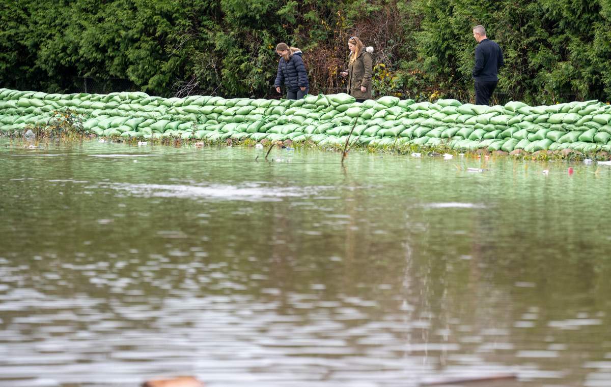
Merritt and Shuswap Lake are two of five regions in B.C. that will soon undergo flood-hazard mapping.

On Friday, the Ministry of Emergency Management and Climate Readiness and the Ministry of Forests announced that the province will be spending $8.69 million so those regions are better prepared for floods.
The ministries say the mapping will be done by March 2024, and that it will provide a detailed understanding of potential flooding.

“Understanding the risk posed by floods is the first step in helping prevent the damage they can cause,” said Bruce Ralston, Minister of Forests.
“By providing more widespread flood-hazard mapping, we are providing communities with the tools they need to properly prepare for extreme weather as we all confront the challenges of climate change.”

Get daily National news
For Merritt, the Nicola and Coldwater rivers will be mapped.
Further south, Shuswap Lake and the mainstream rivers that drain into it will also be mapped.
The other regions to undergo flood-hazard mapping are:
- The Fraser and Nechako rivers in the Prince George area;
- The Bulkley and Skeena rivers from Houston to downstream of Terrace;
- The Coquihalla and Fraser rivers from Yale to Mission.


“With climate-related events becoming more frequent and severe, it’s essential that we invest in flood-hazard mapping so people and communities can understand and reduce their flood risks,” said Bowinn Ma, Minister of Emergency Management and Climate Readiness.
The province says flood-hazard mapping will create estimated depths, velocities and extents of potential floods. That information can then be used by local governments for land-use planning, emergency planning and flood-risk reduction decisions.
“Coming out of the 2021 flood, the City of Merritt has worked with communities up and down the Coldwater and Nicola rivers to create plans that reduce flood risk and support river restoration,” said Sean Smith, Merritt’s chief administrative officer.
“In this process, we have seen an absolute need for holistic, regional watershed planning that isn’t limited by jurisdictional boundaries. Good decisions come from good data, and with a more consistent, regional approach to the flood-hazard mapping process, the public and decision-makers will have more accurate data.”

Comments
Want to discuss? Please read our Commenting Policy first.