
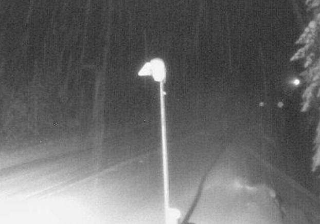
Two busy travelling routes in the southern Interior are expected to be hit by heavy snow throughout Monday.

Highway 3, from Paulson Summit to Kootenay Pass, and the Trans Canada Highway, from Eagle Pass to Rogers Pass, were the subject of a winter storm warning Monday morning.
The section of Highway 3 could get somewhere between 30 to 40 centimetres of snow Monday, Environment Canada said in an update.

“A weather system continues to bring an extended period of heavy snow to Highway 3, from Paulson Summit to Kootenay Pass,” the national weather agency said.
Since Sunday, nearly 15 cm of snow had fallen on the route. The next 15 to 25 cmshould fall throughout the day.


Similarly, the Trans-Canada Highway, from Eagle Pass to Rogers Pass, is forecast to see another 15 to 20 cm of snow.

Get breaking National news
“A weather system is bringing heavy snow to parts of B.C. interior,” the national weather agency said in a winter warning statement.
“Ten to 15 cm of snow has fallen since last night. Heavy snow will briefly ease near noon and intensify again this afternoon.”
Read more: Kelowna Mounties found not responsible for injuries caused by man falling asleep at wheel
The agency warns that rapidly accumulating snow will make travel difficult and potentially compromise visibility.
Road conditions are available at drivebc.ca.
Comments
Want to discuss? Please read our Commenting Policy first.