
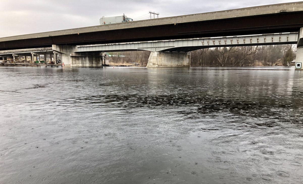
With extensive rainfall expected over the weekend, Otonabee Conservation on Friday morning issued a flood watch for the Peterborough region.

Environment Canada has issued a special weather statement for the region with heavy rainfall with amounts reaching 20 to 40 millimetres over the next 24 to 36 hours. Isolated amounts up to 50 millimetres are possible along with isolated thunderstorms. The rainfall is the aftermath of hurricane Pamela in the Pacific Ocean, officials say.
Otonabee Conservation says amounts more than 50 millimetres could potentially lead to localized flooding, especially if heavy downpours and/or thunderstorms occur.
The authority says water pooling on roads and low-lying areas is possible throughout the Otonabee Region watershed, which includes Peterborough, sections of the City of Kawartha Lakes and the townships of Selwyn, Douro-Dummer, Asphodel-Norwood, Otonabee-South Monaghan and Cavan Monaghan, and the Municipality of Trent Hills.
“As a minimum, higher than normal water levels and flows can be expected in our lakes, rivers, streams, creeks, and wetlands, especially in the vicinity of culverts and bridges,” said Gord Earle, flood forecasting and warning duty officer. “Higher than normal water levels and flows will continue over the weekend as the expected rainfall flushes through our waterways.”


Earle says residents are advised to be extremely cautious around all water bodies because shorelines and riverbanks will be slippery and could be undercut, and currents will be strong.
“Road-side ditches, wetlands and other low-lying areas may experience unsafe ponding conditions,” he said. “Dams and other water control/water conveyance structures are especially dangerous and should always be avoided.”
The flood watch will remain in effect until 4 p.m. Monday.
Area water information can be monitored online at:
- Trent-Severn Waterway’s Water Management InfoNet
- Water Survey of Canada Real-Time Hydrometric Data
- Otonabee Conservation Precipitation and Water Level Data
Comments