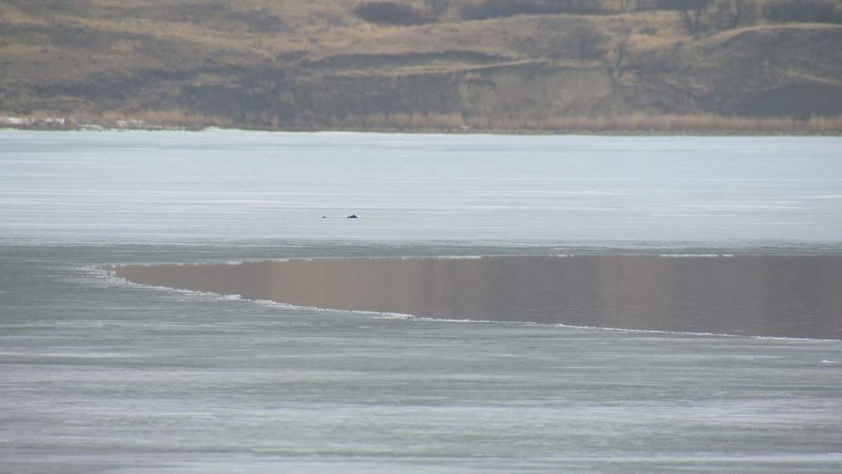
Another winter without much snow in southern Saskatchewan has meant another spring of low water levels for Last Mountain Lake.

The seemingly shrunken shoreline is a result of “some persistent dry conditions… dating back to 2019,” Water Security Agency (WSA) spokesperson Patrick Boyle told Global News.
As of Tuesday, the lake’s level was 489.77m, according to WSA data.
Boyle noted the last time it dipped down so far was in 1991, “after a number of dry years.” He added the historic minimum of 489.36m was recorded in 1988.
Last Mountain Lake, part of the Qu’Appelle River watershed, is unique in that it relies heavily on snowmelt to fill each year (although when the Qu’Appelle River is seeing high levels, water does spill back into Last Mountain Lake).
“The moisture level and snowfall, snow pack, this winter and really even before that, was below normal,” Boyle said. “We’re just not getting that runoff to help the lake come back up.”
As a result, the WSA is trying to improve the situation ahead of summer, when recreational users descend on the water body just north of Regina, by diverting water from Lake Diefenbaker.

Get daily National news
Unlike the naturally occurring Last Mountain Lake, Lake Diefenbaker is a man-made reservoir created in the 1960s that has played a role regulation.

Boyle said the WSA is hopeful to raise Last Mountain Lake’s levels 15 centimetres by late July.
“When you think about how big that lake is, or the rise of it, that takes a while. It’s 15 centimetres on the whole lake,” Boyle said.
Through a not unusual diversion process, the Qu’Appelle Dam on the south side of Lake Diefenbaker sends water to Buffalo Pound, which from there, flows into Last Mountain Lake.
While Boyle said water is already being moved there, “you can only push a certain amount of water through” due to factors that include vegetation growth.
The Qu’Appelle River watershed has traditionally experienced low levels as a result of the province’s dry climate.
However, in the past decade, the opposite problem — too much water — has made headlines. Communities along the water bodies have experienced serious challenges related to flooding.
“It’s a bit of a big swing because memories are short but our records aren’t,” Boyle said, referencing how in recent years, people may have become acclimatized to the higher levels.
In summer 2021, recreational users of the Qu’Appelle River watershed should expect water levels in most areas to be below normal, but in what the WSA refers to as the “operational range,” Boyle said.
If the coming months are hot and dry, levels could dip further due to evaporation, he added.
“Recreational users are going to see it,” Boyle said, referencing cabin owners and boaters who use the launches and docks, in particular.
The WSA says the summer operating range is 489.66 to 490.27m.


Comments