
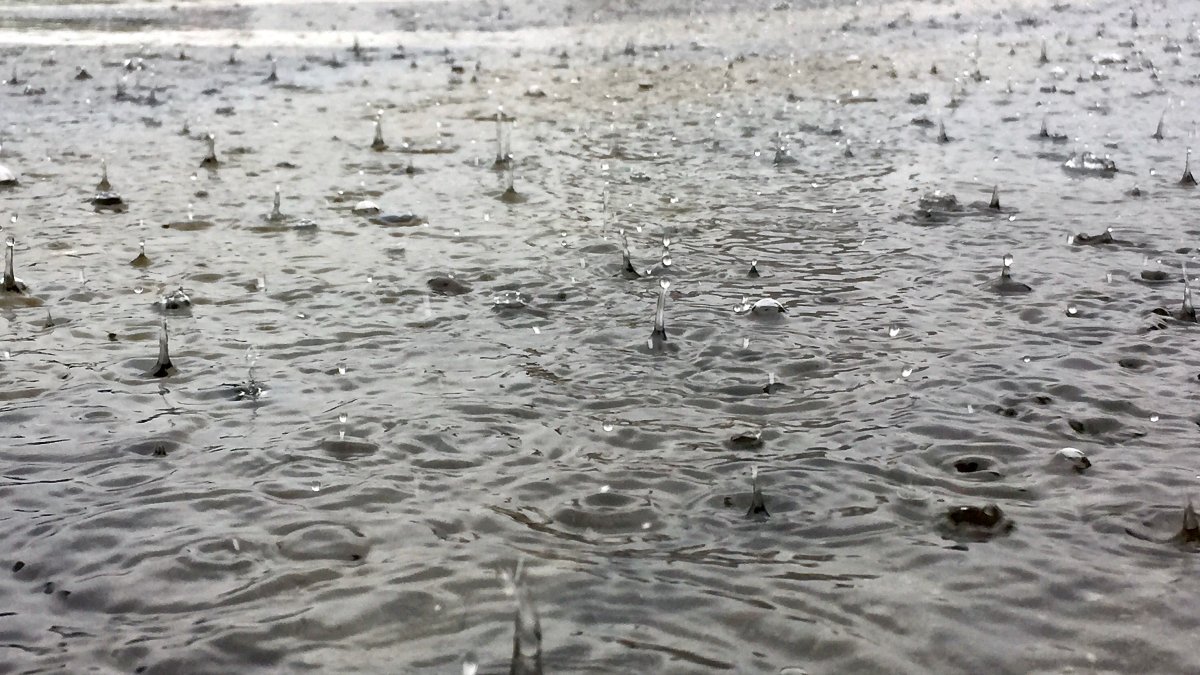
A flood watch issued in late March for the Otonabee Region watershed in central Ontario has been cancelled, officials announced Wednesday.

According to Peterborough-based Otonabee Conservation, a lack of significant rainfall and a “gentle melting” of the snowpack in the area north of the Kawartha Lakes — including the Haliburton Lakes/Reservoir Lakes Region — has resulted in below-normal flows within rivers entering the Kawartha Lakes.
The result means a flood watch issued in late March is now cancelled.
“Water levels and flows within the Ouse River, Indian River and Otonabee River watersheds have been dropping due to the warm and dry conditions,” said Neil MacFarlane, flood forecasting and warning duty officer.
He said as of Tuesday, outflows are reducing on all the Kawartha Lakes in the geographical jurisdiction of the Otonabee Region (Chemong, Buckhorn, Pigeon, Lower Buckhorn, Lovesick, Stony, Clear and Katchewanooka lakes).
“Likewise, the flow of the Otonabee River will be reduced by 30 cubic metres per second (cms) today (Wednesday) thereby lowering it to 70 cms (measured at Lakefield),” he said. “This flow reduction will drop the water level of the Otonabee River at the end of Matchett Line in the Township of Otonabee-South Monaghan.”

Area water information can be monitored online at:


Comments