
A flood watch issued earlier this week for the Trent-Severn Waterway has been extended for all municipalities within the Otonabee watershed, the area’s conservation authority announced Thursday.

According to Otonabee Conservation, unseasonably warm and dry weather is quickly melting snowpack north of the Kawartha Lakes, prompting concern that water levels will rapidly rise on waterbodies south of the Haliburton Lakes/Reservoir Lakes region, including the Otonabee Region watershed, which includes Peterborough, the City of Kawartha Lakes and the townships of Selwyn, Douro-Dummer, Asphodel-Norwood, Otonabee-South Monaghan and Cavan Monaghan, and the Municipality of Trent Hills.
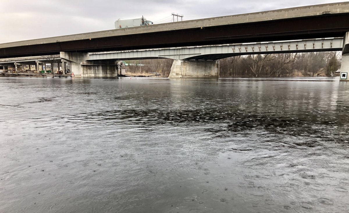
“As a result of inflows from the north, we are currently seeing rising water levels/flows on the Trent-Severn Waterway,” stated Gord Earle, flood forecasting and warning duty officer.
Earle says high water levels and flows are currently occurring in the Ouse River and Indian River watersheds in Asphodel-Norwood Township and on the Otonabee River watershed. However, he said there are no flooding concerns.

However, starting Thursday night, an intense Texas low will migrate into the region, raising flooding concerns, he said, as up to 20 to 30 millimetres of rain is expected.
“The rain is expected to aggressively increase the inflows to the Kawartha Lakes, causing water levels on the Kawartha Lakes to increase, rapidly,” he said. “Accompanying the Texas Low will be 30-50 kilometers per hour winds and the possibility of thunderstorms.”


He said the increasing water levels and strong winds will combine to cause the already weak ice cover on the Kawartha Lakes to break up, which could translate to ice damage and ice/debris jamming around water control/water conveyance structures.
If thunderstorms occur, localized rainfall amounts of 40 to 50 millimetres could be realized, which is sufficient to cause localized flooding, especially where drainage is poor, Earle said.
Another 10 millimetres of rain is expected on Saturday and Sunday and another 10 millimetres is forecast for March 31.
The flood watch will remain in effect until April 1.

Comments