
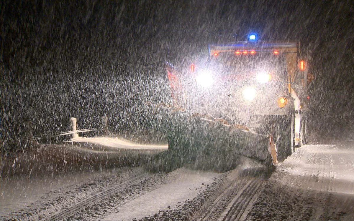
More snow is on the way for the London region, say meteorologists with Environment Canada.

The national weather agency has issued a snowfall warning for London, Middlesex and the rest of southwestern Ontario, saying an incoming low-pressure system will bring more of the white stuff to the region beginning early Saturday.
“The system will spread significant snowfall amounts through most parts of the province,” said Yoseph Menghesha, a meteorologist with Environment Canada.
“It will be a very snowy weekend and very windy as well, winds will be gusting to 60 kilometers per hour so you will need to be mindful of blowing snow.”
Menghesha says the London area will start seeing the impacts of the system after midnight and carry into Saturday morning, adding that 10 to 15 centimetres of snow is possible before the system lightens up through the afternoon.
“In the wake of this system we could still see some local snow squalls on Sunday as well.”
The snowfall will spread eastward to the Golden Horseshoe Saturday morning, dumping between 10 to 15 centimetres of snow.
Menghesha says some areas could see the snow turn over to periods of rain late Saturday, with the snow or rain turning to flurries moving into Sunday morning.
- Life in the forest: How Stanley Park’s longest resident survived a changing landscape
- ‘Love at first sight’: Snow leopard at Toronto Zoo pregnant for 1st time
- Buzz kill? Gen Z less interested in coffee than older Canadians, survey shows
- Carbon rebate labelling in bank deposits fuelling confusion, minister says
“In the wake of this system we could still see some local snow squalls on Sunday as well.”
Both are expected to cause visibility issues on local roadways. Environment Canada is urging motorists to drive accordingly and avoid non-essential travel until conditions improve.
This latest system follows snow squalls Thursday evening that dumped as much as 8 centimetres in some parts of the London area.


Those in the Long Point area are going to want to keep an eye out because the Long Point Region Conservation Authority has issued a Flood Watch for those along the Lake Erie shoreline.
The Ministry of Natural Resources and Forestry (MNRF) is currently forecasting Lake Erie to rise in Long Point by 0.66 meters above the current level and in the Port Colborne area 1.14 meters above the current level.
Strong winds, resulting in a wind warning are expected to cause wave heights to reach up to 2.3 meters in the Long Point area and up to 1.8 meters towards the eastern limits of the watershed.
With the forecasted winds, flooding is expected to impact low-lying areas of the Lake Erie shoreline and lower reaches of some connecting rivers.
Community flood coordinators are advised to prepare and monitor forecasts and stand by for further information.
People are urged to use caution or stay away from shoreline in the affected areas.
Comments