
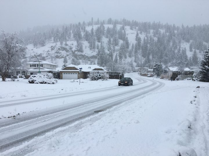
There is no break in sight to the brutal blast of winter weather pouring across southern B.C. this week.

Wet pacific air continues to pound into the province, prompting Environment Canada to renew dozens of rainfall, snowfall and winter storm warnings across the South Coast and Southern Interior.
Along with buckets of rain, parts of Metro Vancouver could even see wet snow by the end of the week.
Dangerous highways
Inclement weather appears to have already claimed one life on a B.C. highway this week, when a senior was killed in a collision with a tanker truck on Highway 1 amid slushy conditions.
Environment Canada has also issued winter storm warnings for multiple mountain passes.
Those include:
- The Sea-to-Sky highway form Squamish to Whistler (Up to 30 cm of snow by Tuesday evening)
- The Coquihalla Highway from Hope to Merritt (Up to 10 cm of snow before rain arrives late Tuesday)
- Highway 3 from Hope to Princeton (Up to 10 cm of snow before rain arrives late Tuesday)
- Highway 3 from the Paulson Summit to Kootenay Pass (Up to 70 cm of snow by Wednesday)
- Highway 1 from Eagle Pass to Rogers Pass (Up to 25 cm snow by Wednesday)
The agency is warning motorists to postpone non-essential travel, and in the case of the Paulson Summit to Kootenay Pass area outright telling drivers to stay away.
Drivers are also being warned of poor and rapidly changing visibility.
The Ministry of Transportation is also warning travellers that the Coquihalla Highway will be closed in both directions between Exit 202 and Exit 228 on Wednesday between 11 a.m. and 3 p.m. while it conducts avalanche control work.


Wet and wintry South Coast
It’s still too early to guarantee anything, but forecasters say the latest round of winter weather could even leave usually wet Metro Vancouver feeling the freeze.
Early models suggest a mix of rain and snow could materialize in northern stretches of the Lower Mainland, including the North Shore, parts of Vancouver, Coquitlam and Mission overnight Thursday and early Friday, according to Global BC meteorologist Mark Madryga.
A second and much colder arctic front is forecast to arrive by Sunday.
But in the short term it’s a case of unrelenting rain for the south coast.
Rainfall warnings remain in place for northern areas of Metro Vancouver and Howe Sound, where Environment Canada says up to 90 mm of rain could fall by the time the current system eases up late Tuesday.
Comments