


Several winter storm warnings that were in effect for days on major highways in B.C.’s Southern Interior have now been dropped.

Only the warning for Highway 3 between the Paulson Summit and Kootenay Pass remains in place as of Saturday afternoon.
Issued early Thursday by Environment Canada, the warnings predicted heavy rain and/or snowfall from an atmospheric river laden with moisture. The warnings stretched from Howe Sound, Whistler and the Fraser Valley in the west through the Okanagan and to the Kootenays in the east.
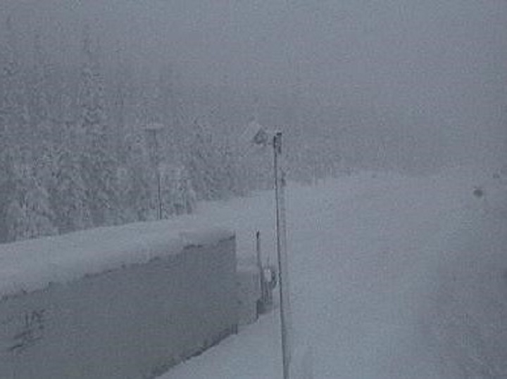
The national weather service was spot-on with its 48-hour forecast, with snow piling up quickly along mountain passes, resulting in several highway closures on Friday.
Early Saturday morning, Environment Canada kept its winter storm warnings in place, but said they would soon end.
“A frontal system has stalled over southern B.C.,” the national weather service said in its warning, which was issued at 4:56 a.m., on Saturday.

Get daily National news
“A steady feed of moisture, streaming into the Southern Interior has brought copious amounts of snow to many highway passes. Numerous highway closures are in effect, consider alternate travel plans until conditions improve.”

Environment Canada said heavy snow will continue Saturday, with five to 20 centimetres possible by the afternoon.
The warning for Highway 3 says it should expect 10 to 15 centimetres, with snow finally tapering off by Sunday morning.
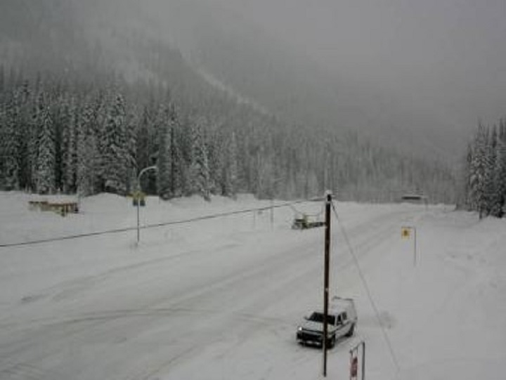
As of Saturday morning, the weather service said the Coquihalla between Hope and Merritt had received as much as 97 centimetres of snow, while the Allison Pass on Highway 3 was hit with a whopping 103 centimetres in some sections.
Highway 3 was the scene of a fatal crash Thursday night, where a woman in her 30s died near the Paulson Bridge in the Kootenays.


On Saturday morning, DriveBC’s emergency message from Friday was still in effect.
It said “heavy snowfall is occurring and is expected to continue through the day for many routes. Consider alternate plans if travelling in southwest B.C. via Highways 1, 3, 5, 5 and 97C and Highway 1 east of Sicamous to Alberta.”
However, by Saturday afternoon, the message had changed, but only slightly.
“Snowfall severity is reduced, but travel advisories and highway closures continue and avalanche control will need to follow throughout the southwest and eastern B.C. Please check your routes and plan accordingly.”
Here are the latest highway closures via DriveBC:
Highway 1, in both directions
- Travel advisory in effect between Victoria Road W and 14th Street N for 146.6 km (Revelstoke to Golden)
Highway 1, in both directions


- Avalanche control work planned between Field and Visitor Centre Access Rd and B.C.-Alberta border for 16.2 km (Field). Road closure planned 10 p.m. to 11 p.m.
Highway 3, in both directions
- Travel advisory in effect between Highway 1 and Frontage Rd for 131.2 km (Hope to Princeton). Limited visibility with snow. Expect delays. Precipitation occurring and expected to continue through evening and overnight with up to 15 cm of snow. Expect delays due to avalanche control and deposit removal. Travel not recommended unless necessary. Consider alternate routes.

Meanwhile, a rainfall warning remains in effect for the Elk Valley, which has already received 78 millimetres of rain since Thursday.
Environment Canada says the region can expect an additional 15 to 25 millimetres through Saturday.
The Fraser Valley, which was under a rainfall warning until early Saturday morning, saw 110 millimetres of rain in the Hope area, while Cultus Lake was hit with 114 millimetres between Thursday and Saturday.
Comments