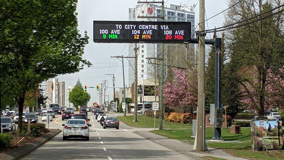
They City of Surrey has unveiled new “smart” digital road signs meant to help alleviate traffic congestion.

The city’s new Advanced Traveller Information System (ATIS) has been installed in three locations, meant to help motorists headed to the city centre avoid traffic backups.
One is installed on 104 Avenue at 154 Street and provides estimated travel times to drivers taking 100 Avenue, 104 Avenue or 108 Avenue.
The second sign is located in the 5500 block of King George Boulevard and shows travel times via 132 Street, 140 Street and King George Boulevard.

The third sign is on 152 Street Highway 1 off-ramp and lists travel times to the city centre via 100 Avenue, 104 Avenue and 108 Avenue.

Get daily National news
The city says the travel times are determined using 50 Bluetooth sensors installed in a variety of traffic signals throughout the city’s northwest.
The ATIS system is able to detect Bluetooth devices on the roads, encrypts the data and sends it to Surrey’s Traffic Management Centre, where computers crunch the numbers to come up with estimated travel times.
- Cowichan case blamed for sinking B.C. property deals, including luxury hotel purchase
- One of Kimberly Proctor’s killers denied parole again, board believes he is still a risk
- Egypt and Iran protest Seattle FIFA match over Pride celebrations
- Highway 1 east of Golden, B.C. closed due to crash, snowy weather


Comments