
This storm has been in the forecast all week and just ahead of it, the picture is slightly clearer as to what will transpire Thursday and into the weekend.

Wednesday will be snowy for the southwest Manitoba, mostly around the Parklands where a snowfall warning is in place. This snow is along a cold front. The snow is expected to taper off later in the day. Starting Thursday, the Colorado Low will begin to impact southern Manitoba and northwestern Ontario.
Let’s start by laying out a constant through this storm. Winds will be strong. Expect wind gusts starting Wednesday and through Friday to be up around 60-70 km/h. Some models suggest 80 km/h are possible. Windy conditions are a guarantee.
Now to where it gets a bit more tricky.
The biggest issue hindering the forecast is the multiple types of precipitation that will be possible. Temperatures will fall close to the freezing mark by Thursday morning and will not move far above or below that point well through the weekend. This “warmer” air allows for big, fluffy, wet snowflakes but close to the freezing mark also means there’s a chance for freezing rain or straight rain.
- Trudeau says ‘good luck’ to Saskatchewan premier in carbon price spat
- Canadians more likely to eat food past best-before date. What are the risks?
- Hundreds mourn 16-year-old Halifax homicide victim: ‘The youth are feeling it’
- On the ‘frontline’: Toronto-area residents hiring security firms to fight auto theft
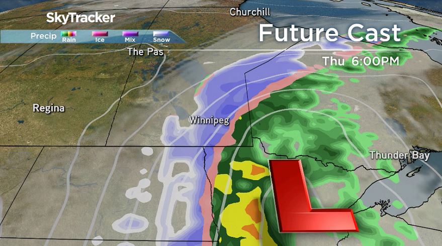
The line where the precipitation changes is difficult to forecast. As of Wednesday morning, the line looks to be closer to the Winnipeg area with more rain to the east, especially near and into Ontario and snow to the West. The majority of the freezing rain potential in Winnipeg exists on Friday.
Weather models have been spitting out some massive snowfall amounts with this system. Historically, the spring and fall have the opportunity for some of the biggest storms due to the available moisture in the air. Whether that happens here, well, we’ll know this all too soon.
Potential snowfall amounts early in the week had totals like 40-70 cm by the end of the day on Saturday. As of Wednesday, these numbers remain extremely high with models still suggesting 50-70 cm of snow is possible. Wednesday afternoon Environment and Climate Change Canada made an update to the special weather statement issued earlier in the week warning of this system.


The special weather statement outlines that the area where the highest snowfall accumulation is likely. It is likely areas north and west of Winnipeg will see the most snow with accumulations nearing 30 cm.
Generally speaking, the areas around the Ontario border to roughly west of Portage la Prairie have the greatest opportunity to see the highest snowfall totals and a significant amount of a wintery mix of rain and snow by Saturday evening.
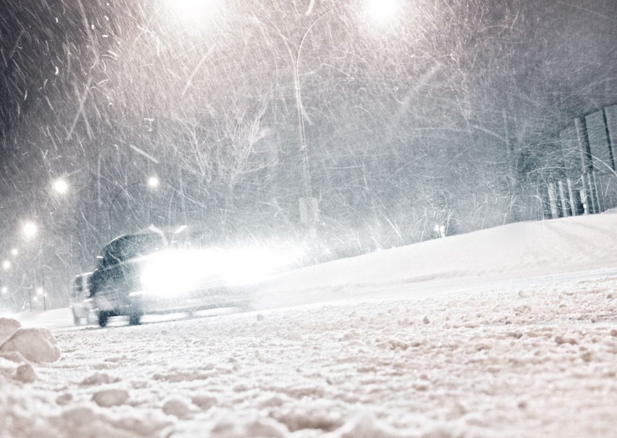
While the track of the system is still somewhat unclear and the state in which precipitation could change slightly, strong winds and heavy precipitation falling as rain, snow or freezing rain will significantly impact travel ahead of the Thanksgiving weekend.
Friday and Saturday’s road conditions will be brutal and changing plans is highly advised.
Comments