
A day after a summer-long flood warning for Lake Ontario was cancelled, the federal government announced Friday $150,000 in funding to support flood mapping of the shoreline.

In Port Hope at the town’s water treatment plant, Northumberland-Peterborough South MP Kim Rudd announced the funding for the province of Ontario to support updated flood mapping of the Lake Ontario shoreline under the Natural Disaster Mitigation Program.
The Ganaraska Region Conservation Authority, Central Lake Ontario Conservation Authority and Lower Trent Region Conservation Authority are each contributing $57,500, which is being funded by the benefitting municipalities, in support of the project, for a total project value of $322,500.
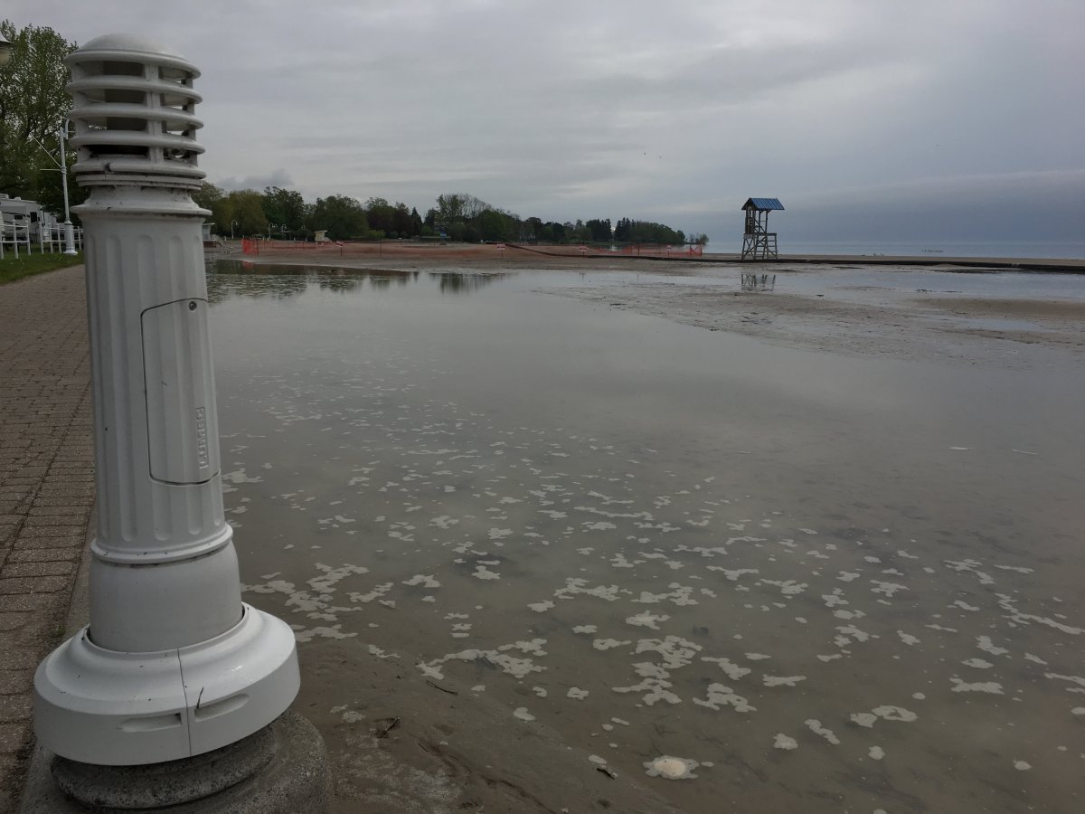
On Thursday, the GRCA cancelled the flood warning for Lake Ontario that was first issued on May 13. The water levels reached a record peak of 75.92 metres above sea level (MASL) on June 15 in Cobourg. The authority says the lake has since declined by 42 cm and is now at 75.49 MASL.
The lake level in Cobourg still remains more than 60 cm above normal for this time of year and a flood watch is now in effect.
“This spring, Ontario residents witnessed first-hand how weather-related natural disasters are getting more severe, more frequent, more damaging and more expensive due to climate change,” stated Rudd. “The government of Canada is proud to work collaboratively with our partners to support proactive projects like the one announced today, which will help provide the tools to better protect the safety of our citizens and build safer and more resilient communities.”
The funding aims to assist in creating a shoreline management plan through updated flood mapping and hazard assessment of the 130-kilometre shoreline from Ajax to Brighton, east of Cobourg. The plan will recommend management practices to help prevent and/or mitigate the effects of Lake Ontario on the surrounding shoreline communities and guide future land-use decisions.


Linda Laliberte, GRCA’s CAO/security-treasurer, thanked the federal government for the funding for the “important project.”
“The funding will allow the authorities to identify and update Lake Ontario shoreline hazard mapping and to provide guidance to our member municipalities in making sound shoreline management decisions,” she said.
Rudd made the announcement on behalf of Ralph Goodale, minister of public safety and emergency preparedness.
The flood watch for Lake Ontario shoreline will remain in effect until Sept. 5.
WATCH: Cobourg beach bounces back after record water levels on Lake Ontario

Comments