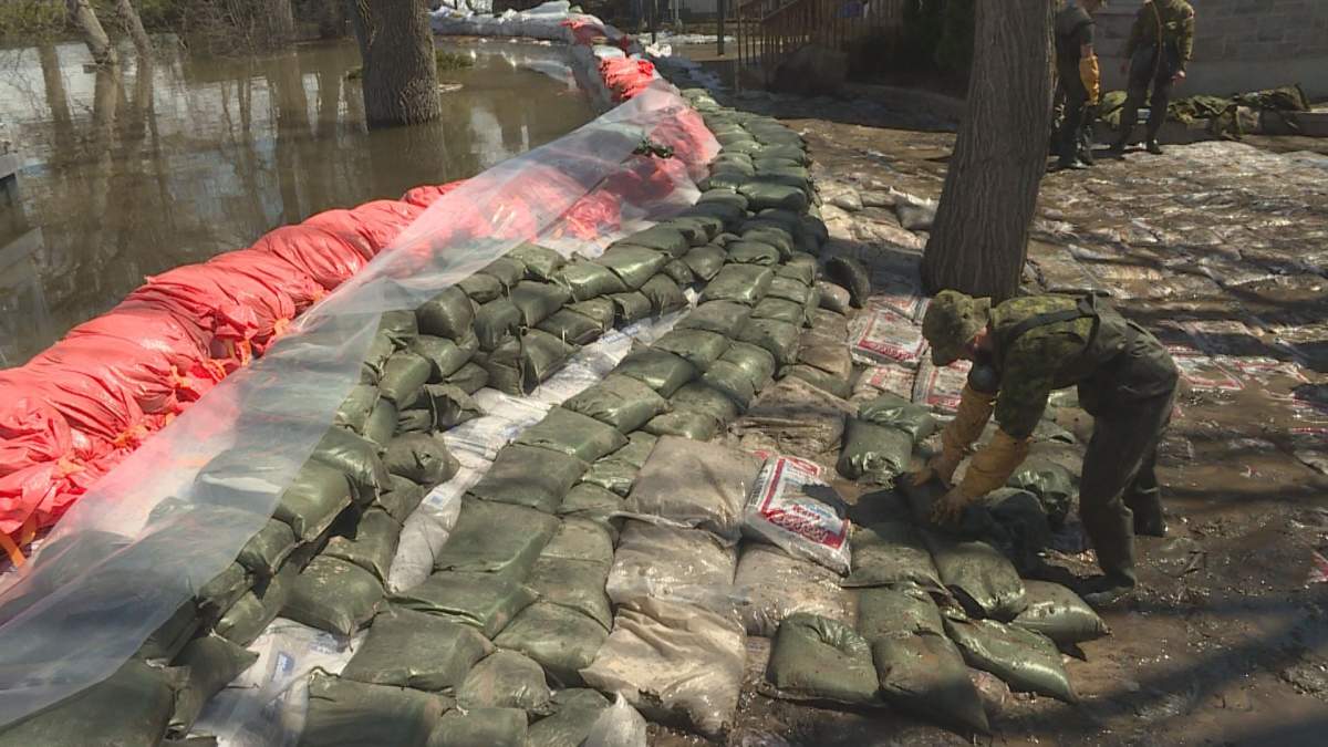
Officials with Montreal’s Pierrefonds-Roxboro borough say they are denouncing “the lack of communication and support” by the provincial government when it came to revising the Special Planning Zone (SPZ) for floodplains in the province.

READ MORE: Quebec removes 30 municipalities from its updated flood maps
“The government shows that it has no sensitivity to the fact that the borough of Pierrefonds-Roxboro has, by its riparian nature, one of the highest residential densities on the north shore of the Island of Montreal,” officials argued in a statement.
WATCH BELOW: Beaconsfield considering legal action against province over flood maps
_848x480_1572567107788.jpg?w=1040&quality=70&strip=all)
The Quebec government outlined 813 municipalities — and thousands of homes — in its flood maps, using data from several sources, including the Communauté métropolitaine de Montréal (CMM).
Just a month later, following consultations with municipalities and residents, a revised map was posted, taking off 30 municipalities; that did not include Pierrefonds-Roxboro.

Get daily National news
The borough notes that “at the same time, the government took the opportunity to divest itself of its responsibilities” and “without even having been notified” or given consent, municipalities were put in charge of processing requests from residents.
READ MORE: West Island residents, mayors furious over Quebec’s updated flood maps
“Once again, the government is sending the ball back to the municipalities without equipping us with the necessary means to respond to the demands and concerns of citizens. We learn the information at the same time as the public,” said Pierrefonds-Roxboro Mayor Jim Beis.
Officials “do not have the data and human resources to carry out the necessary research to verify the accuracy of the information provided,” including whether or not an address has actually been flooded, “which goes beyond the expertise and mandate of the borough.”
WATCH BELOW: Quebec removes 30 municipalities from updated flood maps
_848x480_1571160643868.jpg?w=1040&quality=70&strip=all)
“We require open, transparent and consistent communication from the government with municipalities to be able to provide concrete assistance to citizens who find themselves in the middle of this endless administrative storm,” the statement reads.
The Ministry of Municipal Affairs and Land Occupancy (MAMH) said it was surprised by the borough’s reaction.
READ MORE: Beaconsfield asks Quebec to take them off new flood zone map
“The SPZ applies to the zero to 20-year flood zones that were already identified by the municipalities, as well as the floods of 2017 and 2019,” said Sébastien Gariépy, director of communications for the ministry.
“The delineation of the territory flooded by the spring floods of 2017 and 2019 is not a map of the flood zones. It is a spatial representation of two flood events based on available data.”
WATCH BELOW: West Island mayors, residents upset with new flood maps

He added that several residents who called to request that their homes be taken out of the SPZ territory “did not know that their residence was in a zero to 20-year zone.”
“It is the municipalities that are best placed to inform citizens of this situation,” Gariépy said.
Beis argues that many areas included as special intervention zones in the borough had never been flooded, nor were they considered at risk, but the borough has received a “significant volume” of calls, emails and visits from residents asking to have their homes removed from the SPZ.


Comments