


For the latest coverage on Wednesday, May 22, please visit this story.

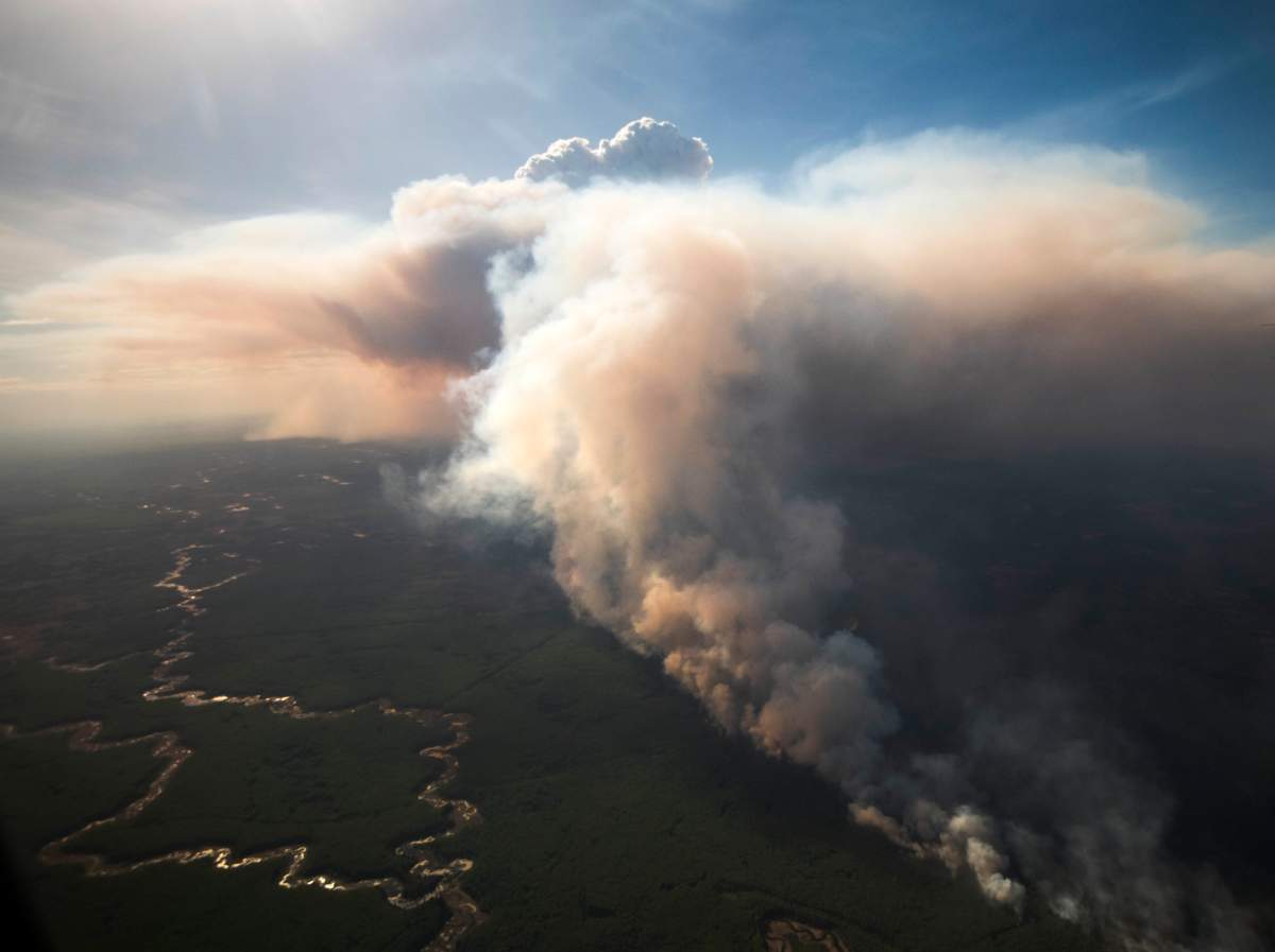
Alberta Premier Jason Kenney got a firsthand look at the wildfire that is burning out of control near High Level, Alta. on Tuesday.
About 4,000 people were evacuated from several areas of northwestern Alberta on Monday due to the wildfire.
The photos of the premier’s tour posted on the government of Alberta’s Flickr account show massive clouds of smoke rising from the burning forest.


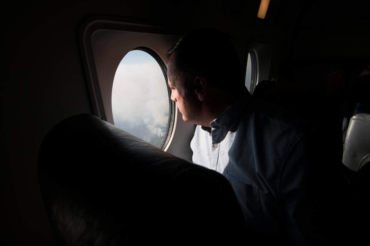


Kenney also stopped at the emergency operations centre in High Level to meet with first responders and staff.


The Chuckegg Creek wildfire south of High Level is located west of Highway 35 and south of Highway 58. As of 5 p.m. on Tuesday, the provincial government said it had grown to nearly 80,000 hectares in size.

Get breaking National news
READ MORE: High Level wildfire grows to nearly 80,000 hectares
At a media briefing Tuesday morning, Kenney said the fire was at a six, the highest number on the intensity scale. That means the fire is jumping from crown to crown of trees, the premier explained.
Residents have been told to plan to be out of their homes for 72 hours.
READ MORE: Hundreds of northern Alberta wildfire evacuees register at reception centres
BELOW: An interactive map of the wildfires currently burning in Alberta
Comments
Want to discuss? Please read our Commenting Policy first.