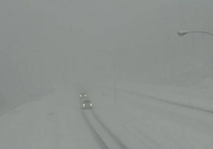
If you plan on driving into or out of B.C.’s Southern Interior, prepare for treacherous road conditions.

On Tuesday afternoon, Environment Canada continued its winter storm warning for mountain passes between the Fraser Valley and Alberta border. Affected regions include the Fraser Canyon, Nicola, Similkameen, West Kootenay, Shuswap, West and East Columbia. On Monday, the weather service said approximately 50 centimetres of snow was projected to fall between Monday evening and Wednesday afternoon on Interior highways.
“A moist Pacific frontal system has moved across Southern B.C. today,” said Environment Canada. “In its wake, a strong southwest flow will continue to generate flurries near the summit of the Coquihalla Highway tonight through Wednesday morning.”
Limited visibility and blowing snow has been reported on the Coquihalla between Hope and Merritt.
Environment Canada added that approximately 30 cm of snow had fallen near the Coquihalla summit since Monday night, and that an additional 15 to 25 cm was forecast by Wednesday morning.
“Rapidly accumulating snow will make travel difficult,” Environment Canada warned. “Prepare for quickly changing and deteriorating travel conditions.”
For the latest driving conditions, visit DriveBC.
- Joffre Lakes to close for 3 periods this year under agreement with First Nations
- ‘Why aren’t we doing more?’ White Rock on edge with killer on the loose
- B.C. carjacking victim says she doesn’t trust the ‘catch-and-release’ system
- B.C. woman’s journey to sobriety highlights the need for drug treatment


Comments