

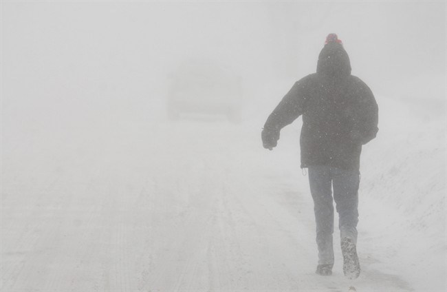
Following last week’s snowstorm, which wreaked havoc on the roads, we’re expecting an even more powerful storm system to blanket the London region on Wednesday.

Environment Canada Meterologist Gerald Cheng tells Global News Radio 980 CFPL the snow will start slow, but quickly ramp up.
“Early Wednesday, we’re looking at a very small system that will go through that will give everybody about two centimetres of snow. However, for the London area specifically, the problem with this system is behind the system there will be northwesterly winds,” Cheng said. “As a lot of Londoners know, with northwest winds coming off Lake Huron, that means snow squalls and we could be expecting 10 to 15 centimetres of snow, in addition to the light dusting earlier in the day Wednesday.”
Drivers are being warned that the afternoon rush hour could be particularly treacherous.
“We advise people to be careful out there, especially late morning into the afternoon hours, because the winds will be blowing the snow around and the snow will be intense, and so it will be hard to see on the roads, so be careful out there because visibility will be reduced,” Cheng said.


The snow will taper off Wednesday night, but the temperature is set to plummet to a low of -15 C.
We’re expecting a break from the cold temperatures over the weekend, but not precipitation.
Specifically, there’s a risk of rain on Saturday, with melting snow potentially causing new headaches for Londoners.
“There may be some puddles as the snow melts and snow blocking some drains, so be careful out there throughout the weekend,” Cheng said.
Comments