


A provincial state of emergency has been declared in B.C. due to hundreds of wildfires burning around the province.

There are now 48 wildfires of note, meaning these wildfires are highly visible or pose a potential threat to public safety.
There are 1,500 properties under the evacuation order and 9,000 properties under evacuation alert. This means 3,050 people are on evacuation order with 18,720 on evacuation alert.
Here’s a look at the fires burning around B.C.
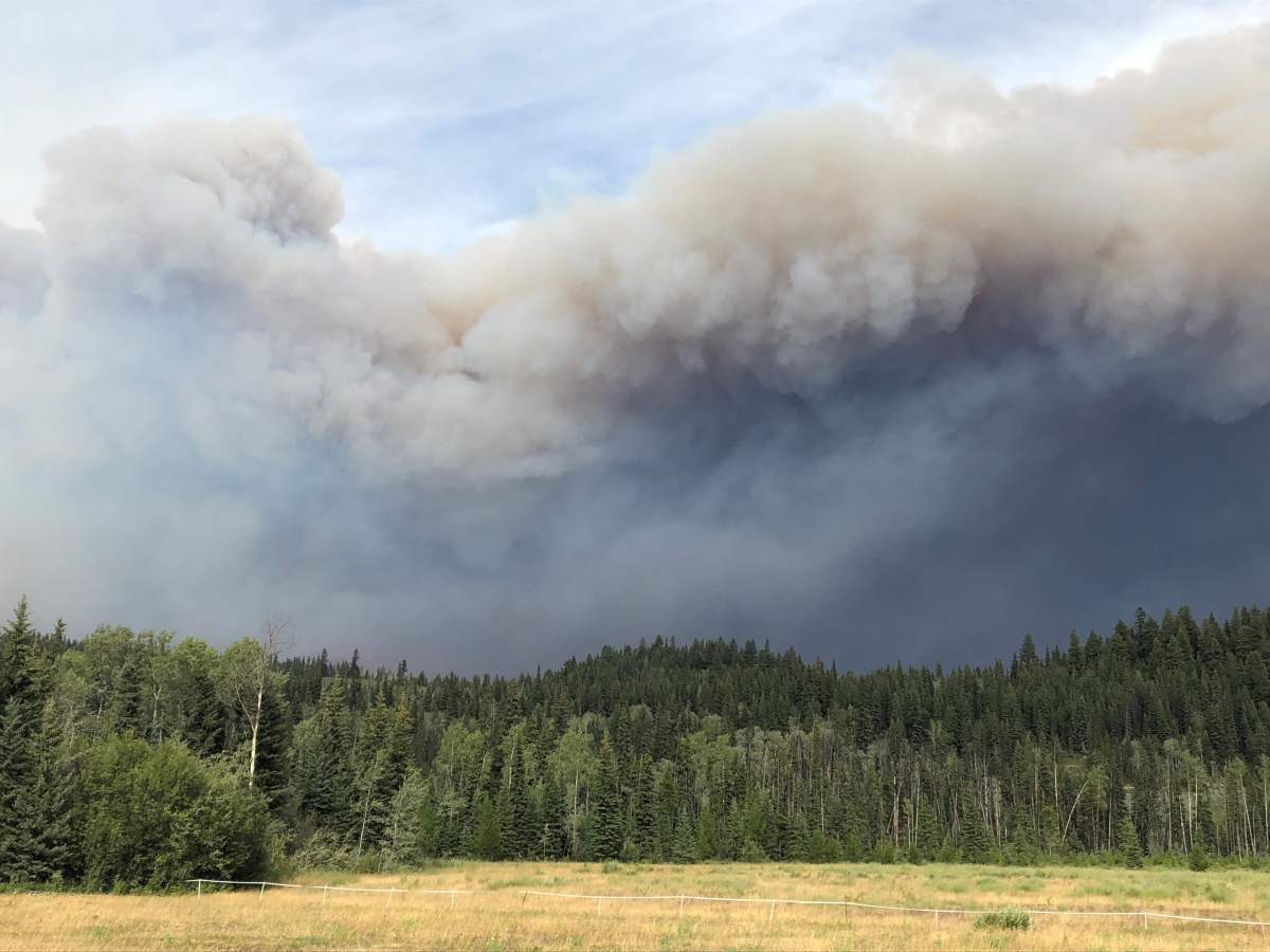
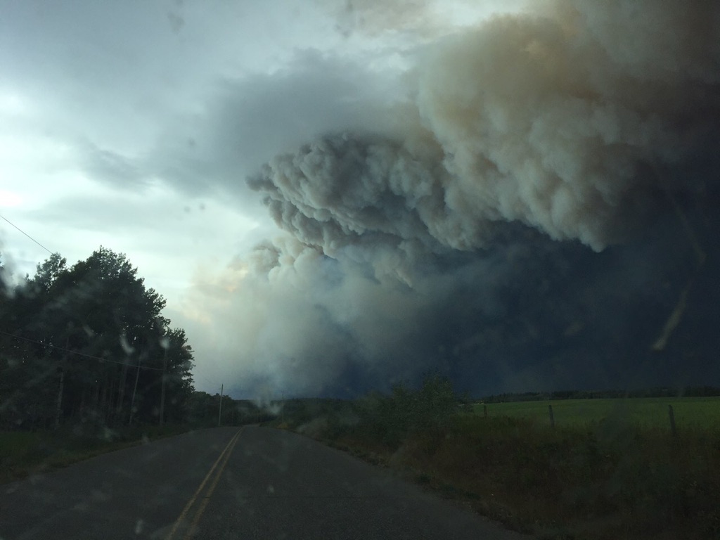
The largest wildfire burning in the province is the Shovel Lake wildfire at 50,831 hectares.
It is burning about 6.7 kilometres north of Endako and Highway 16, and about 13 kilometres north of Stallako.


WATCH: Provincial state of emergency declared in B.C. due to wildfires

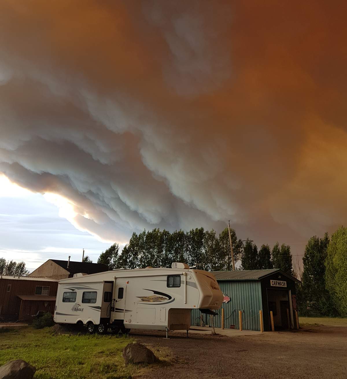
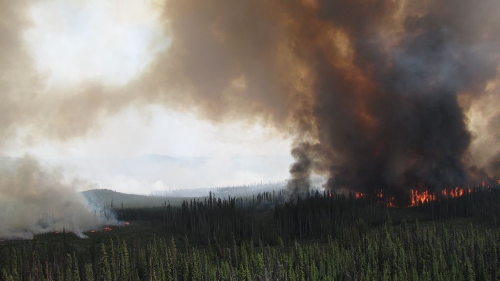
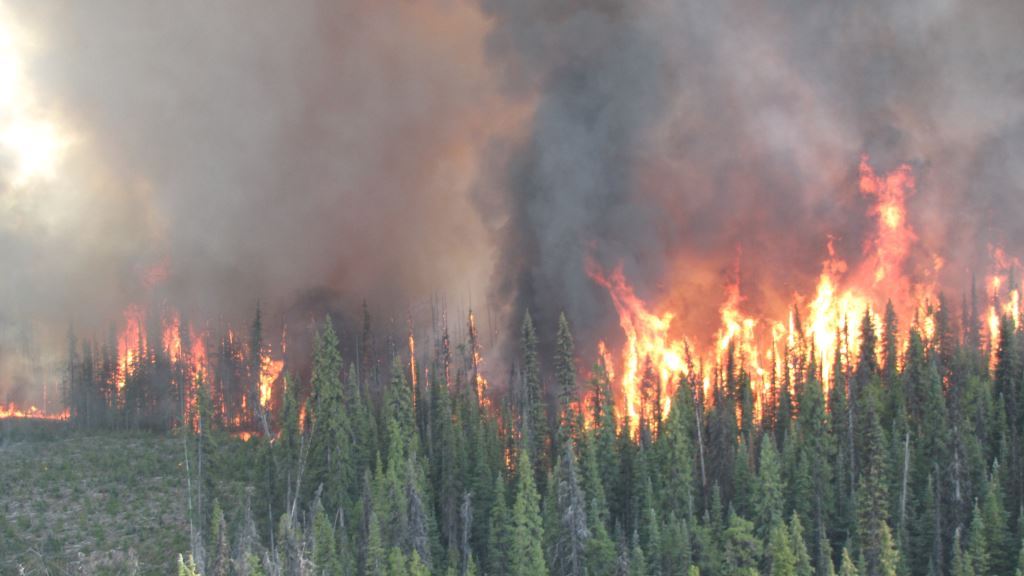
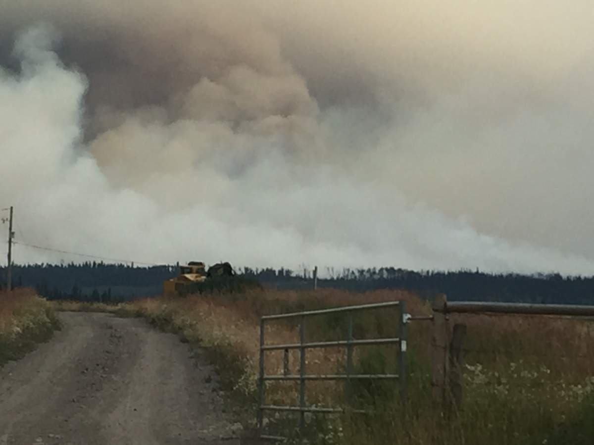
These photos of the Shovel Lake fire were taken Monday, about two kilometres away from the boundary:
Burning nearby is the Island Lake wildfire at 13,000 hectares, the Verdun Mountain wildfire at 4,500 hectares, the Nadina Lake wildfire at 25,000 hectares, the Shag Creek wildfire at 9,300 hectares, the Narcosli Creek wildfire at 3,400 hectares and the Tweedsmuir Complex wildfires, estimated at around 35,000 hectares in size.

Get breaking National news
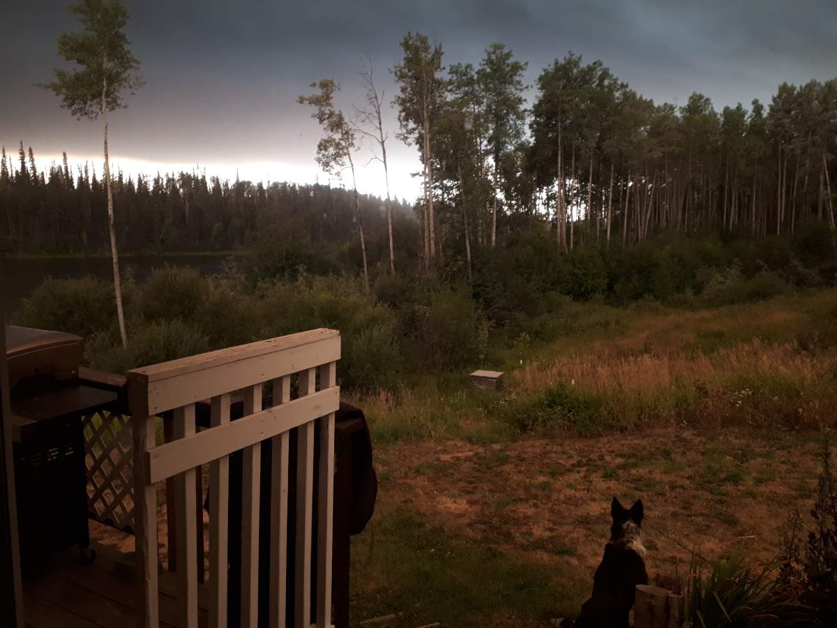
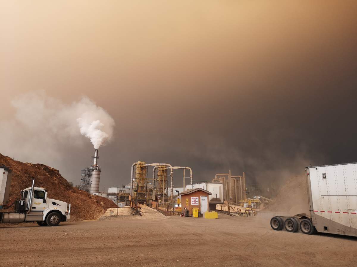
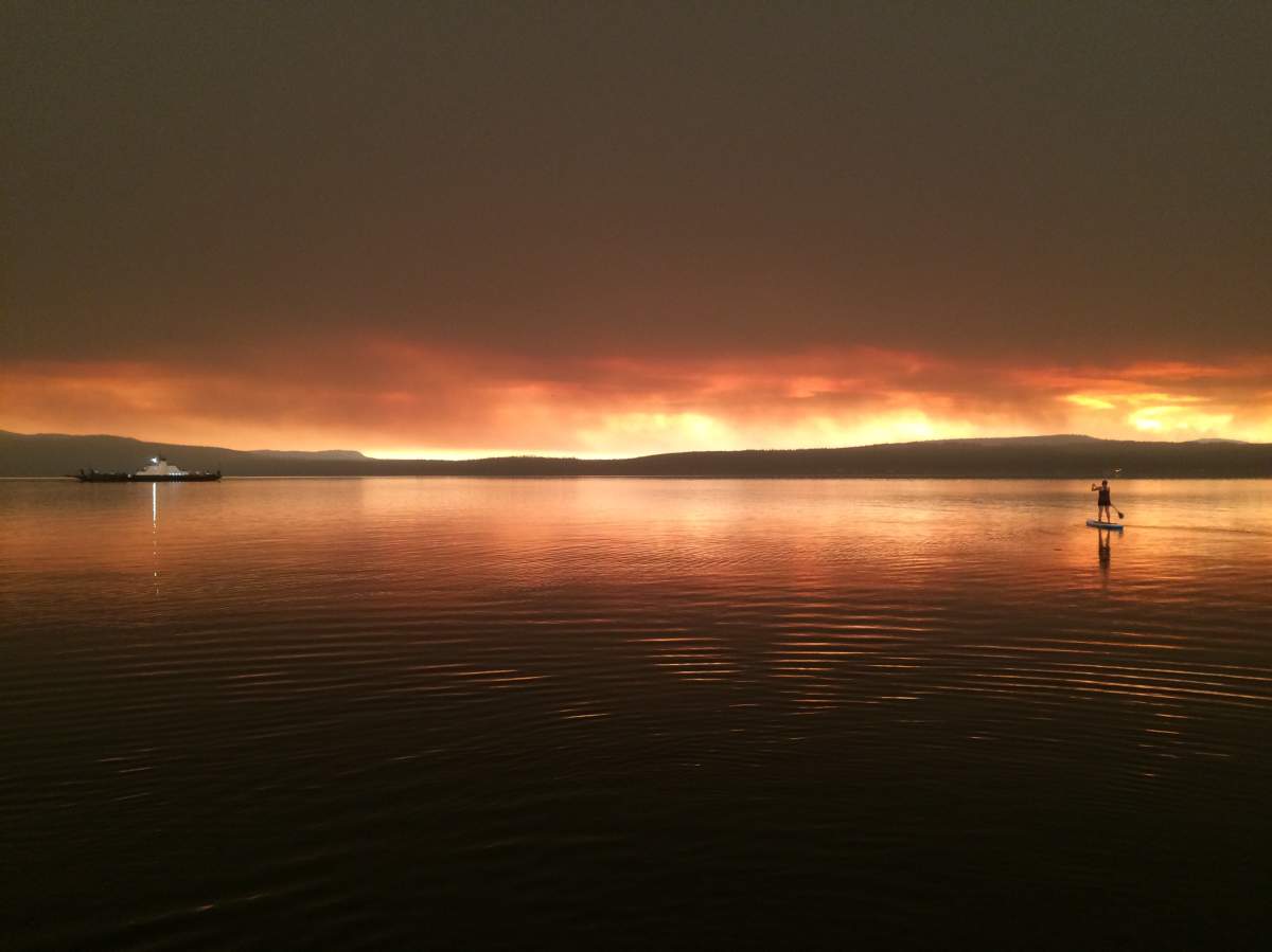
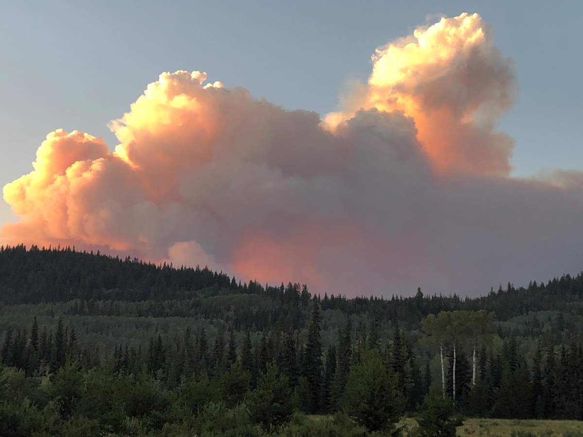
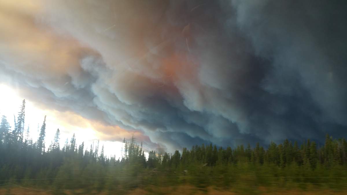
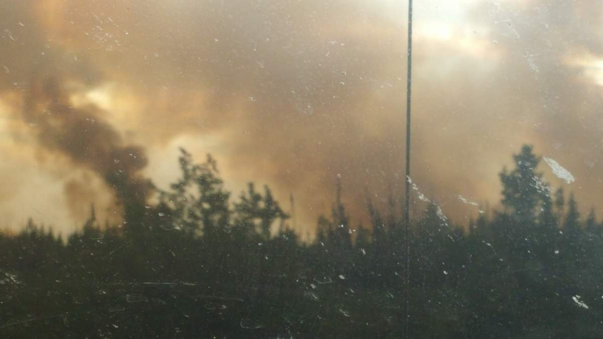
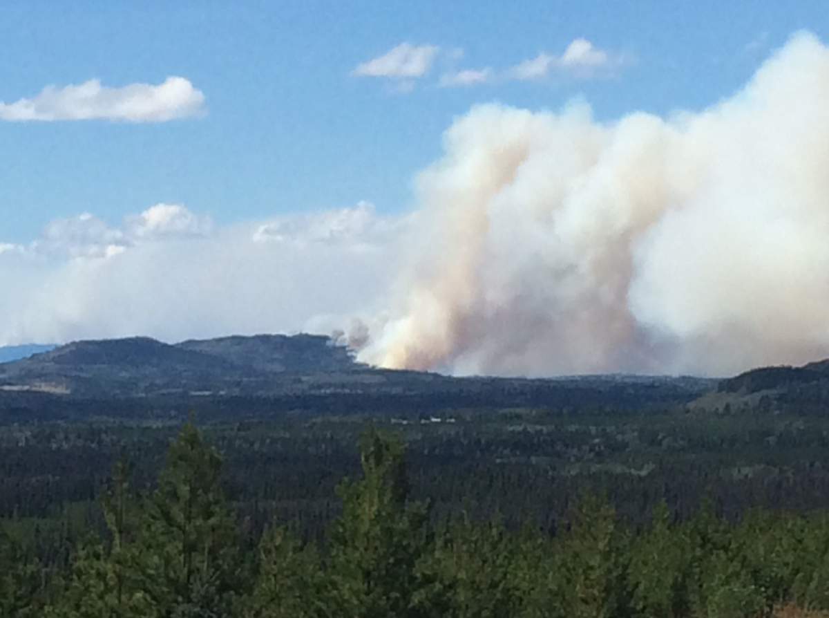
Here is a look at the smoke in Burns Lake from the wildfires burning:


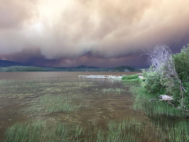
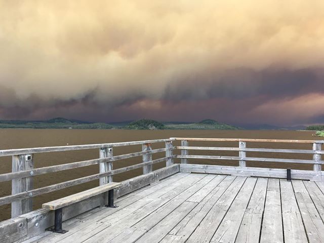
This photo was taken August 14 looking south over Francois Lake from viewer Ron Scott’s cabin, which is close to the ferry landing.
WATCH: Province continues to battle almost 600 wildfires

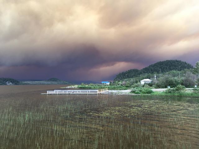
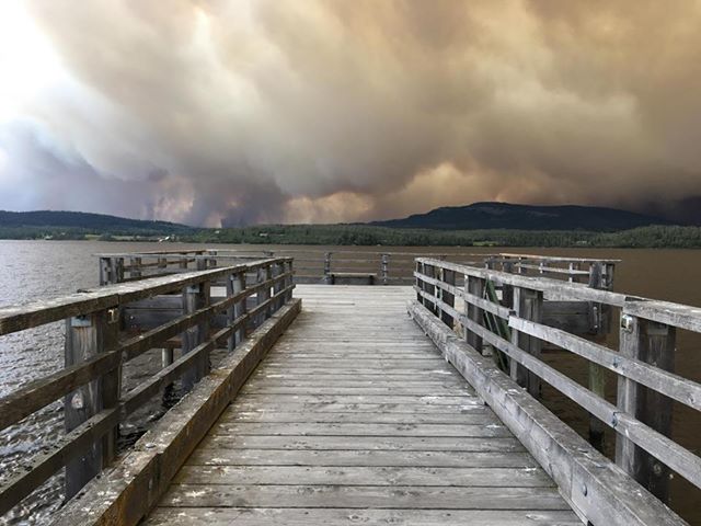
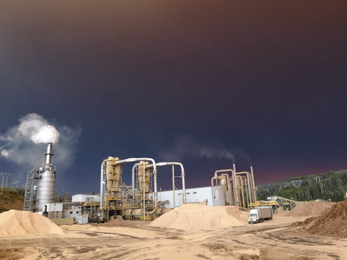
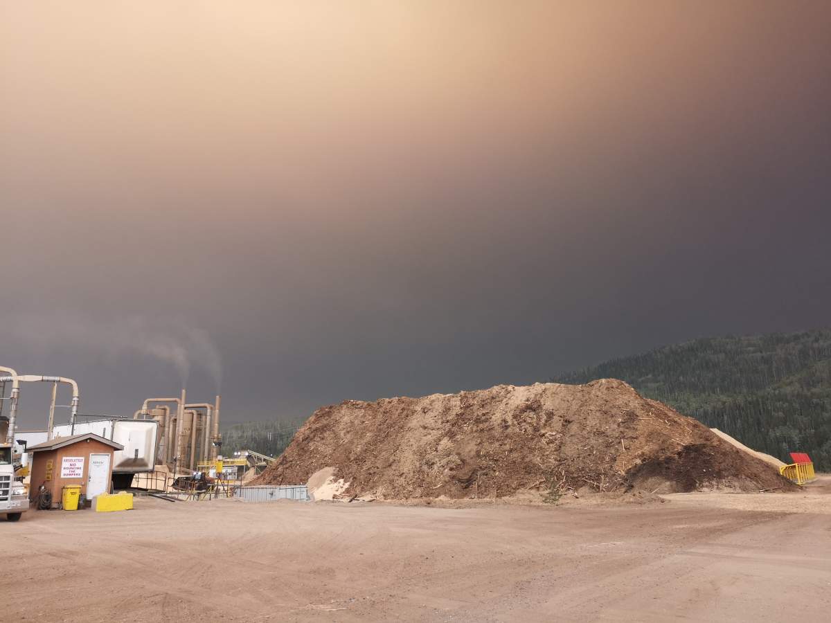
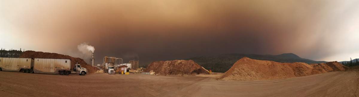
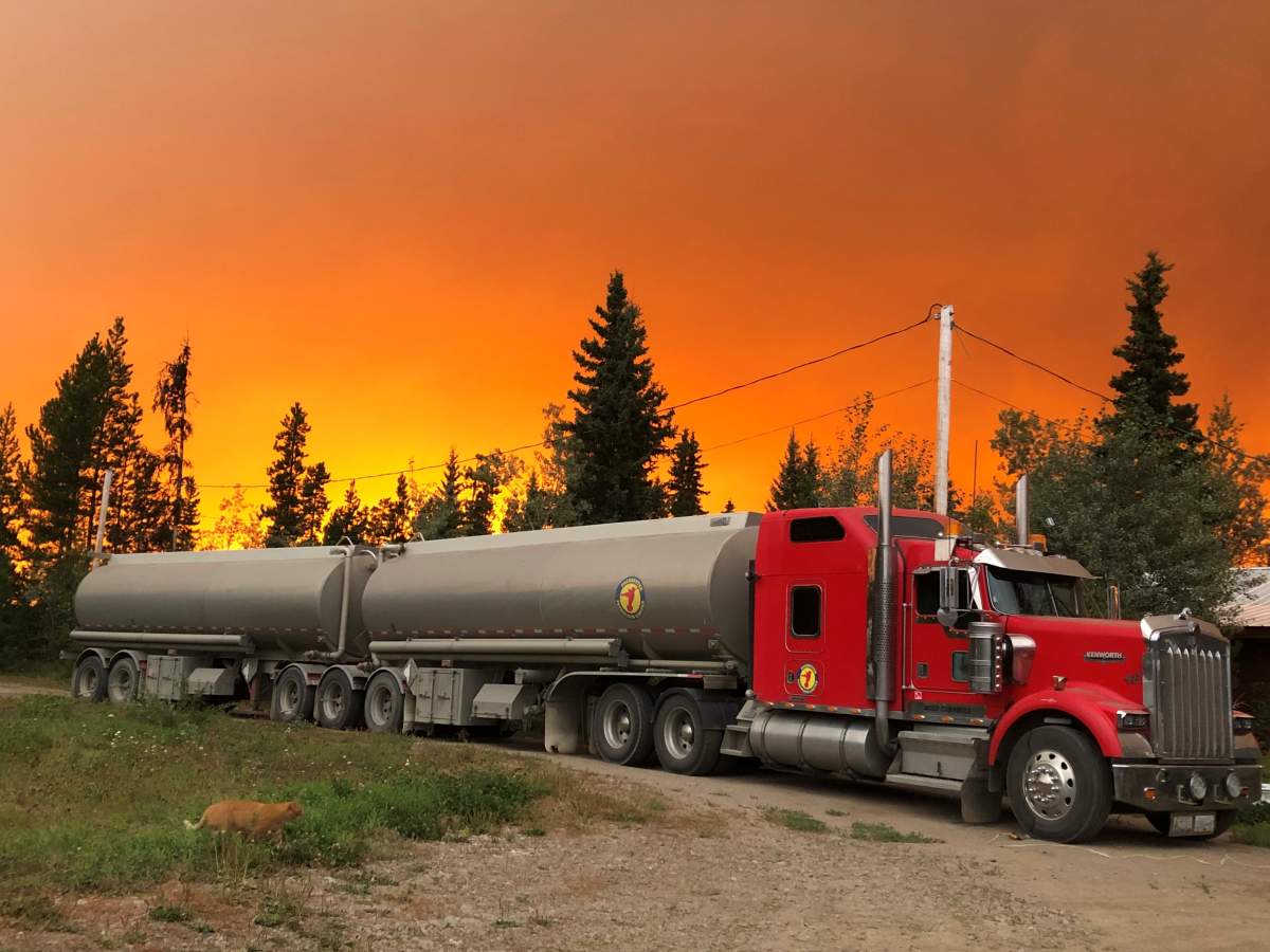
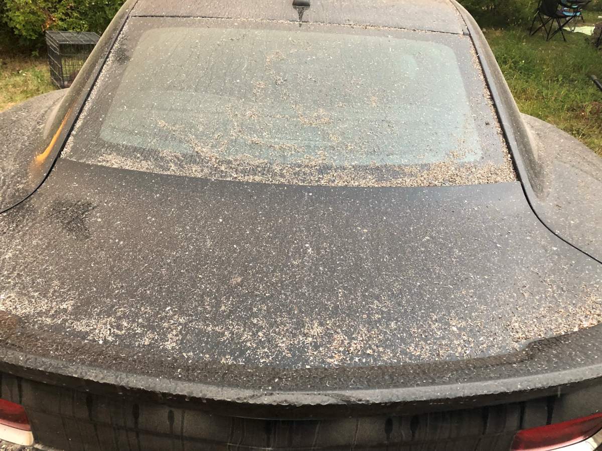
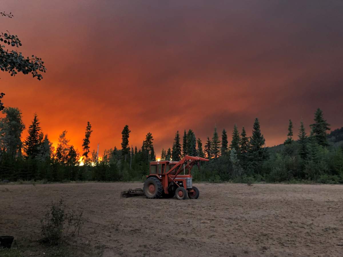
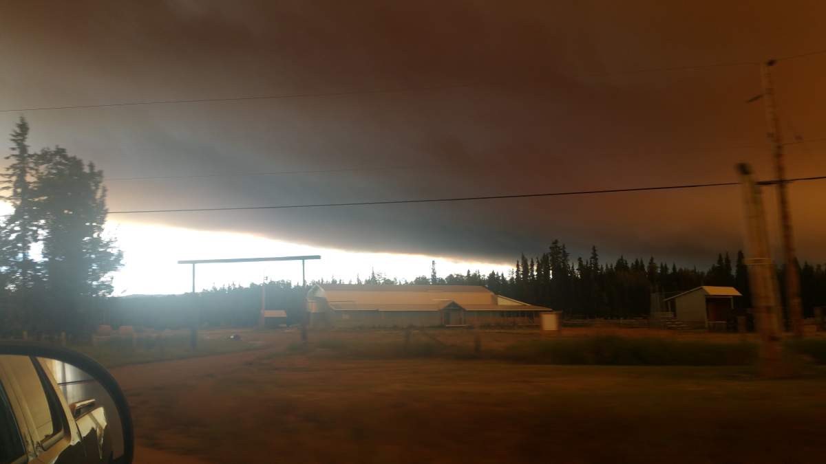
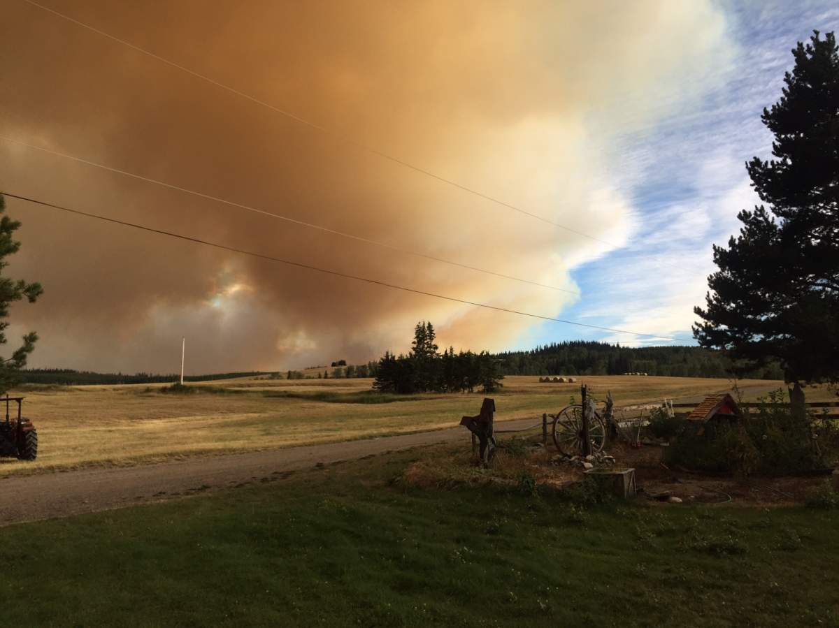
Photos from Fraser Lake:


Cori Dewijn spent Tuesday morning helping move cows from the path of the Nadina Lake fire, burning 60 kilometres south of Houston, 63 kilometres southwest of Burns Lake, and seven kilometres southwest of Parrott Lakes.


In an email, she said the Nadina Lake fire and the Verdun Mountain fire are closing in from both sides.
“The people in the community were amazing as everyone pitched in to help each other as much as they could,” she said.


WATCH: Ottawa sending troops to help fight B.C. fires

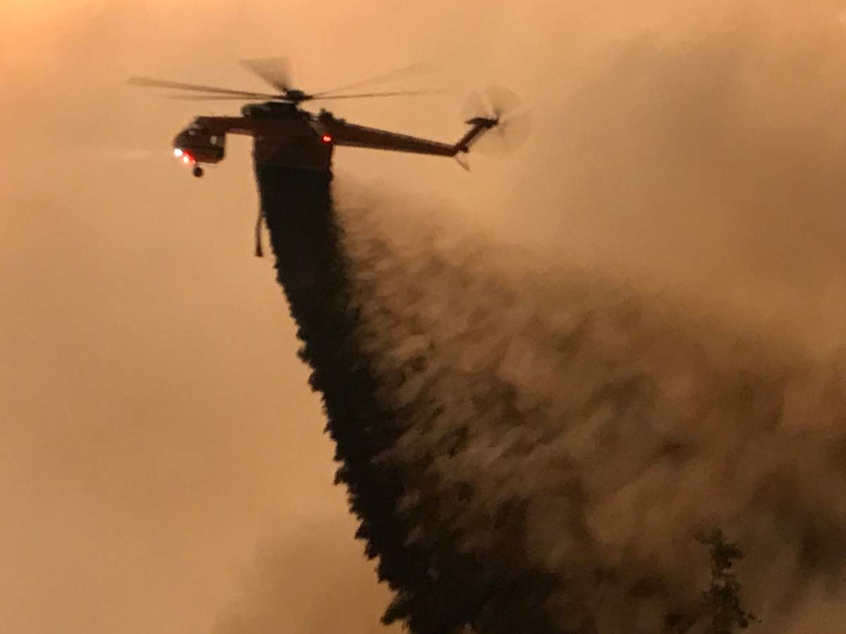
An Erickson Air-Crane heavy-lift helicopter doused the flames of the Island Lakes wildfire, burning adjacent to Island Lake, south of Francois Lake.
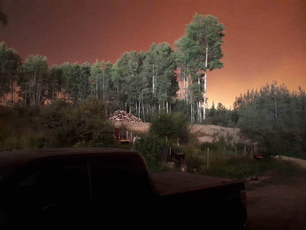
Global News viewer Jessica Gessl has been evacuated from her home due to the Verdun Mountain fire, burning 17 kilometres southwest of Grassy Plains.
She has now left her home with her fiance and her seven-month-old son.


Comments
Want to discuss? Please read our Commenting Policy first.