
While the temperatures are not spectacularly high, the start to the final week in June may feel like the most humid conditions southern Manitoba has dealt with this year.

And while there’s the chance for showers and thunderstorms, the way these storms will form will be very different.
Monday will likely see scattered showers and possibly non-severe thunderstorms around southern Manitoba. These will be very similar to Friday.
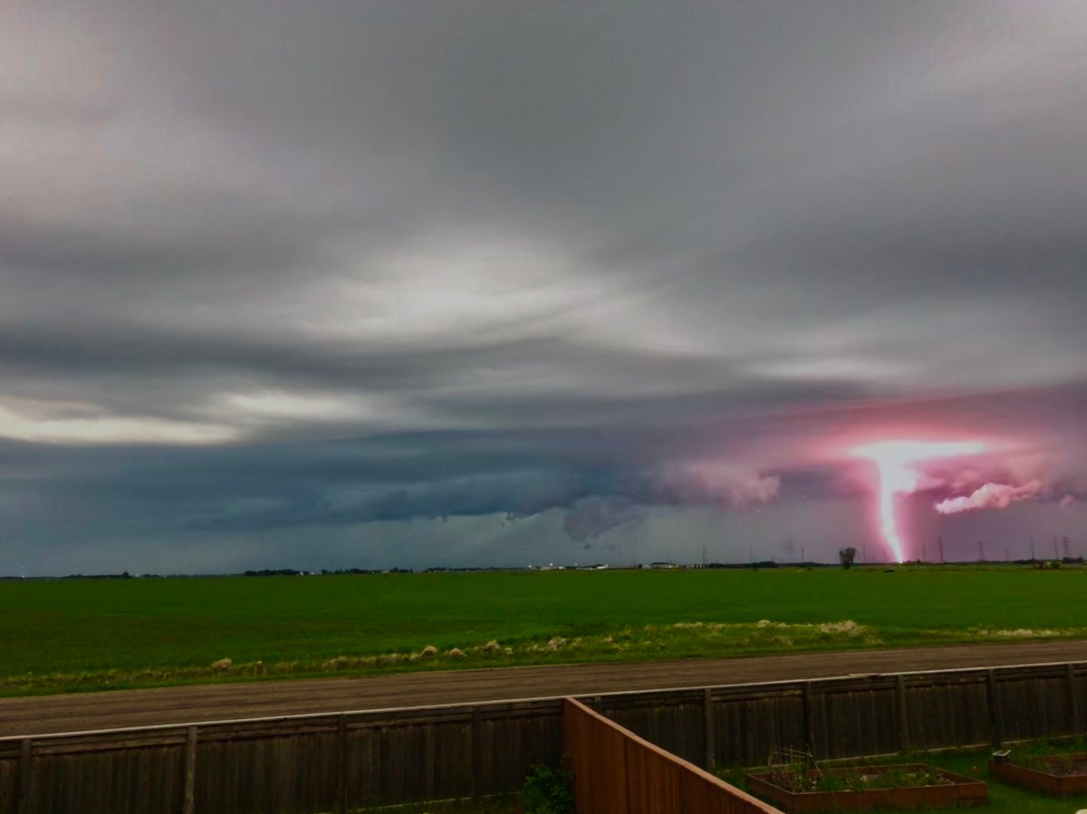
Tuesday will be a different story. Tuesday’s showers and thunderstorms will be triggered by a cold front stretching from a low pressure system in northern Alberta. These storms will be stronger and more organized.
This same front and system could trigger severe weather in Alberta with hail and strong winds being the greatest threats on Monday. Tuesday could be similar for southern Manitoba as that front arrives.
The timing of the front will a factor as well. During the day, the forecast is fairly quite but as the front sweeps across southern Manitoba, it will likely trigger some strong storms. Monday morning puts the arrival of the front in Winnipeg somewhere between the early evening and midnight. If the storms arrive earlier in this time frame, there’s a higher potential for severe weather. If the front arrives after sun down, that risk diminishes.


Winnipeg\’s 5 day forecast for the week of June 25, 2018.Later in the week humidex values are expected to be less but don’t rule out some more shower activity.
- Canadian man dies during Texas Ironman event. His widow wants answers as to why
- On the ‘frontline’: Toronto-area residents hiring security firms to fight auto theft
- Honda’s $15B Ontario EV plant marks ‘historic day,’ Trudeau says
- Canadians more likely to eat food past best-before date. What are the risks?
Comments