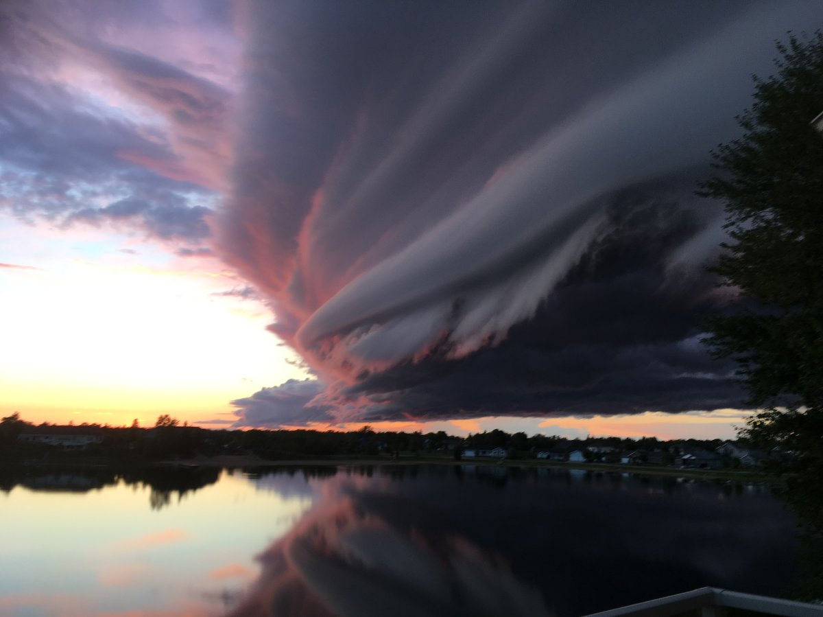
Severe weather looks likely to return to southern Manitoba late Thursday.
Tornado watches were issued in Virden, Souris, Melita, Boissevain and Turtle Mountain National Park before noon Thursday. Similar watches were also issued in southeastern Saskatchewan for Carlyle, Oxbow, Carnduff, Bieffait, Stoughton, Estevan, Weyburn, Radville, Milestone, Moosomin, Grenfell, Kipling and Wawota.

Models are suggesting that southwestern Manitoba, in the Westman and Riding Mountain, region could be seeing any and all types of severe weather including torrential downpours, large hail (3-5cm), damaging winds (90-100km/h gusts), as well as a threat of tornado activity.
Environment and Climate Change Canada released this thunderstorm outlook Wednesday afternoon and updated it Thursday morning. It shows the areas most at risk for severe weather.
Storm activity will continue into the evening and overnight hours across the Red River Valley, the Interlake and southeastern Manitoba.

Get daily National news
Thunderstorm activity is still possible overnight with heavy downpours being the main threat, however, hail and damaging wind gusts will still be possible.
While the risk of severe weather is high, there are still some conditions that may hinder its development.
Environment and Climate Change Canada note two issues.
The first is dew point temperatures. These temperatures indicate the amount of moisture in the air. As of Wednesday, more moisture is in the air south of the border in Nebraska. If little of that moisture makes it into the Canadian prairies, it will limit the severity of the thunderstorms.
The other potential hindrance is based on the storm activity Wednesday night and Thursday morning over Nebraska and Saskatchewan. If the storms do not clear quickly enough Thursday morning, the lingering cloud cover will limit the ability for strong storms in the afternoon.


Comments