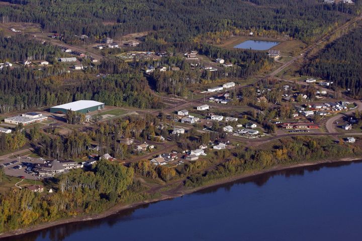
The Alberta government has released a draft plan for managing a contentious area that holds oilsands resources and is also culturally significant to Indigenous people.

The plan for Moose Lake, which affects about 1,000 square kilometres north of Fort McMurray, was developed by the government, the Fort McKay First Nation and industry, Alvaro Pinto of the band’s sustainability department said Friday.
“It still allows development to occur, but there are limitations on land disturbance and water intake and location of major infrastructure,” said. “The plan as proposed does not sterilize the resources.”
The Fort McKay First Nation has long complained that oilsands development on its traditional lands were preventing members from exercising their treaty rights. Moose Lake, the band has argued, is one of the few places left where people can go to hunt, fish, berry-pick and gather medicinal plants.
The draft plan, covering an area of Crown land with a 10-kilometre radius around the band’s Moose Lake reserves, promises improved air-quality management and monitoring. Water allocations are to protect Fort McKay’s drinking water.

Get breaking National news
Healthy wildlife populations are also to be maintained.
The human footprint is to amount to no more than 1.5 per cent of the total area, the draft says. Low-impact seismic lines will not be included in that calculation.
Pinto said the band still has some concerns about what development will be allowed within the protected zone.
Although much of the land has been leased for energy development, there are no active oilsands operations on it.
About half of it has been leased for forestry. Commercial forestry within the 10-kilometre zone is banned for 30 years, although there is an option to review that after five years.
The band has been trying to preserve the lake and adjoining land since 2001.
The previous Conservative government under then-premier Jim Prentice signed a letter of intent to protect it. The current NDP government announced in 2016 it would try to resolve problems that prevented any progress.
The area became the subject of a lawsuit when the First Nation claimed it hadn’t been properly consulted over plans for an in situ oilsands mine. That lawsuit remains active, said Pinto.
A public comment period on the draft plan lasts until March 30.


Comments
Want to discuss? Please read our Commenting Policy first.