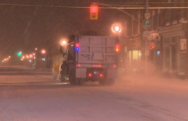
London and the surrounding area will get another taste of winter weather Thursday, as forecasters are calling for snow squalls to develop off Lake Huron.

Warning Preparedness Meteorologist with Environment Canada Geoff Coulson says areas north and west of the city will likely be hit the hardest.
A snow squall warning is in effect for London, Parkhill, Strathroy, as well as Eastern and Western Middlesex County.
Coulson says the system is set up near Grand Bend and extends inland towards Strathroy and Mount Brydges.
“That band does look pretty intense, so anyone planning travel to the west or north of the London area, should be aware of the fairly significant snow squall activity.”
He says those areas will receive the brunt of the snowfall, with London more than likely being spared from the worst of it.

Get breaking National news
“We could be looking at quite significant accumulations over the next couple of hours, these bands will stay out of the northwest tonight and into Friday,” said Coulson.
“If those bands do shift a little bit, it’s quite possible areas of London could receive 20 to 30 centimetres.”
The squalls arrive in the midst of a cold snap hitting southwestern Ontario. Environment Canada cancelled an extreme cold weather warning Wednesday but issued a cold weather alert this morning.
In addition to the quickly accumulating snow and poor visibility, he says wind chill values nearing -30 are also expected.
“We may, in fact, see an extreme cold warning issued for the area later this afternoon with these extreme wind chill values.”
Wind chill values of -30 are required before Environment Canada issues an extreme cold warning.
Coulson doesn’t think there will be much relief from the cold until Sunday.
With the frigid cold temperatures, Coulson stresses the importance of keeping your skin covered to prevent hypothermia and frostbite.
A list of shelters and warming centres can be found here.


Comments