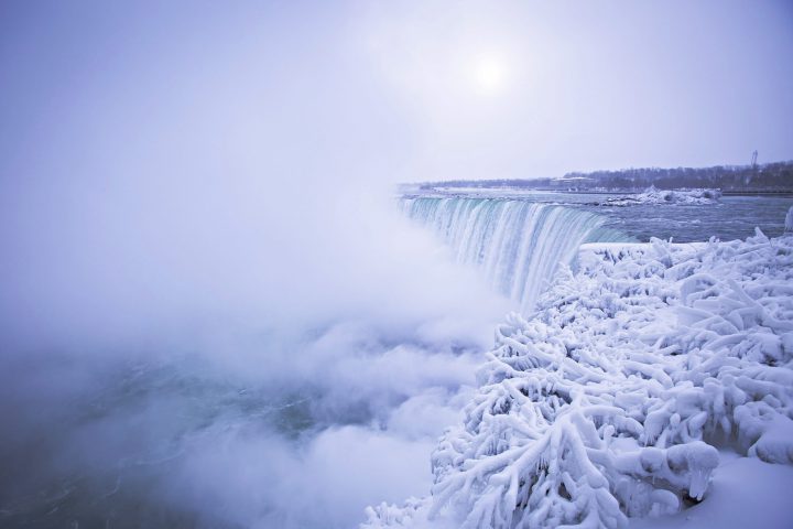
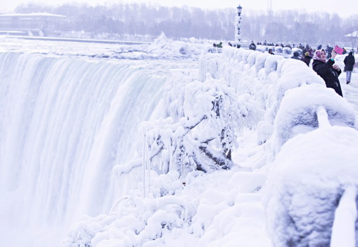
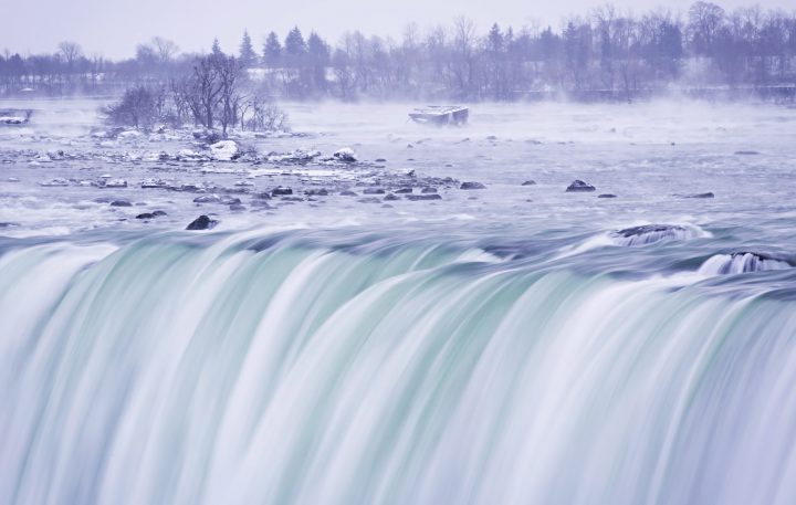
It is very, very cold in Ontario right now — so cold that Niagara Falls is basically an icy wonderland.

PHOTOS: Here’s what an extreme cold snap looks like in Canada
Temperatures across the province dropped to record lows last month, as frigid air continues to hover over the region for longer than expected.
Global News meteorologist Ross Hull explained that 2018 has been the coldest Jan. 1 on record in the Niagara Falls area, with temperatures dipping below -26 C.
READ MORE: Winter weather travel advisory issued for parts of the Greater Toronto Area

“That is well below average, considering the normal overnight/morning low should be closer to -7 C,” Hull said. “The high temperature on New Year’s Eve was also well below average with a daytime high close to -15 C.”
WATCH: How to dress for cold weather

According to Environment Canada, the typical temperature for December in the region is just below 0 C.

Get daily National news
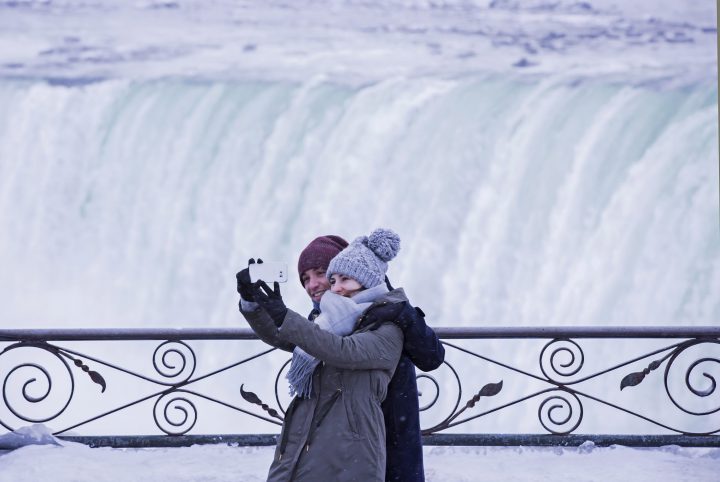
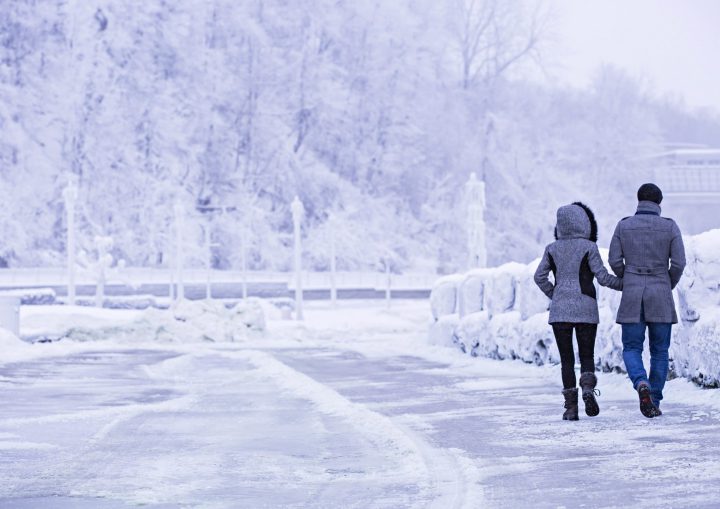
The bone-chilling cold has many people staying indoors, but these gorgeous photos may convince some to venture outdoors to see the upside of winter.
While the photos show ice and snow covering much of the tourist destination, it’s important to note that the actual falls are not frozen.
More than 3,100 tonnes of water flows down Niagara Falls every second, at a speed of 32 feet per second — which means temperatures would have to be a lot colder than they are now to freeze the falls.
“Historically, ice does form over parts of the falls, but there is always water running beneath that ice,” Hull explains. “This may give the impression that the falls are frozen over but that’s not the case.”
While the bitter cold has its downsides, it does make for pretty photos — and not just at Niagara Falls. Other parts of Canada have also been showing off their snow-covered landscapes.
B.C.’s Fraser Valley, for example, saw an ice storm Friday night, which left behind some dangerous but beautiful views.








Comments
Want to discuss? Please read our Commenting Policy first.