
After collecting 16 years’ worth of data, two researchers with Western University ties have developed a system to forecast tornadoes with 90 per cent accuracy within a 100km radius.

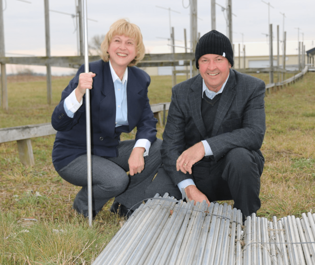
Tornado Identification and Forewarning with VHF Windprofiler Radars is the result of data compiled through 10 radar arrays stationed in Ontario and Quebec, including one just north of London. Western University professor Wayne Hocking and Western alumna Anne Hocking, PhD, compiled 16 years of tornado data and correlated that with real-time and archived data.
Wayne Hocking told 980 CFPL that in contrast to tornado-chasers, they wait for tornadoes to come to them.

Get daily National news
“We’ve had to be very patient, we obviously can’t catch all of them but over the last 16 years we’ve caught 34 tornadoes which we’ve been able to analyze.”
The data found that a combination of three factors were recorded in the majority of the tornadoes: specific profiles of cloud overshoot into the stratosphere, wind velocity, and turbulence. While they still can’t pinpoint exactly where and when a tornado will hit, the tornado-prediction method could buy as much as 20 minutes more warning time.


Hocking added that they’re hoping the release of the data will lead to more funding for faster computers to allow more frequent displays of data, for them to set up similar systems in other areas to see if the same conditions are seen and to combine results with satellite imagery in hopes of fine-tuning the forecasting even further.
“In the short-term though, I would hope we could get some funding to actually instigate this as an early warning system and experiment with it as a real-time predictor within the next few years if we could.”
Comments
Comments closed.
Due to the sensitive and/or legal subject matter of some of the content on globalnews.ca, we reserve the ability to disable comments from time to time.
Please see our Commenting Policy for more.