
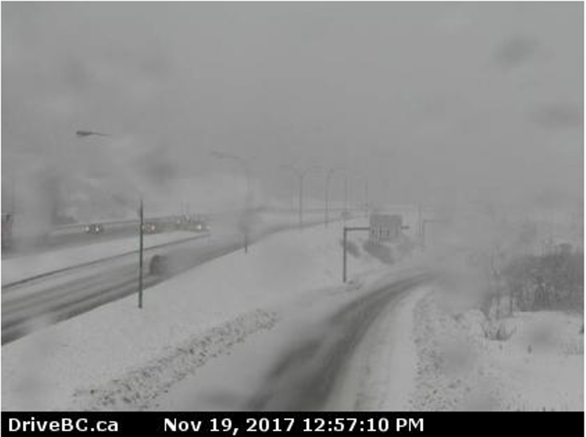
Environment Canada has issued snowfall warnings for the Trans Canada Highway between Eagle Pass and Rogers Pass and for the Coquihalla Highway from Hope to Merritt.

The agency said a slow-moving frontal system is moving through the Southwest Interior and then across the Kootenays Sunday night. The highway passes are likely to see significant snow due to the storm.Coquihalla Summit: Light snow will become heavier late Saturday afternoon and continue into the evening. The snow is expected to ease near midnight. Total snow amounts of 15 to 25 cm can be expected by early Monday morning.Rogers Pass: Intermittent flurries will intensify Saturday afternoon. 10 cm can be expected during the afternoon with an additional 10 cm Saturday night.Kootenay Pass: Snow will intensify Saturday evening. Snowfall amounts approaching 20 cm are expected by early Monday morning.
READ MORE: Wet and windy weather across B.C.’s south coast leads to ferry cancellations
The snow will taper off on Monday morning as the system moves into Alberta.Be prepared to adjust your driving with the changing road conditions.Prepare for quickly changing and deteriorating travel conditions. Visibility may be suddenly reduced at times in heavy snow.
© 2017 Global News, a division of Corus Entertainment Inc.
Comments
Want to discuss? Please read our Commenting Policy first.