


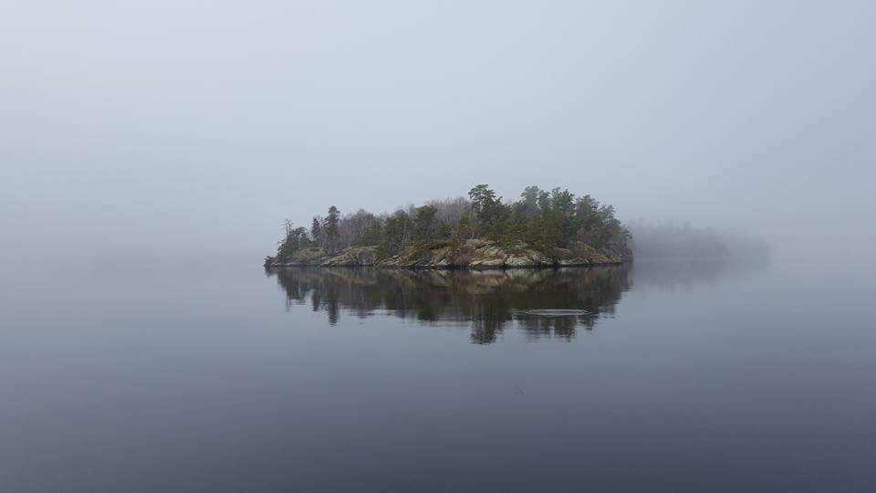
It looks like the last “warm” days of the fall season may be behind us.

Since Winnipeg and many other communities set temperature records on Friday, temperatures have been cooling off slowly. Generally this week, temperatures will be staying closer to normal.

Get breaking National news
Wednesday will likely be the warmest of the week where temperatures climb over the 10 Celsius mark across southern Manitoba. It may end up being the last time we see temperatures in double figures in 2017 but that’s a pretty bold prediction. At the very least, it’ll be one of the last days over 10 C left this year.
- Record slow hurricane season, but Maritimers warned to stay vigilant about extreme weather
- Tornado confirmed in Winnipeg neighbourhood, another west of the city
- ‘A lot of work ahead’: Storm-ravaged Saskatchewan cities continue cleanup
- ‘Warzone’: Storm rips through Winnipeg leaves thousands without power


As temperatures fall into Thursday morning, some precipitation is likely. It looks like most precipitation will fall as rain but there are models that have some of it appearing as snow but in very small amounts (~1cm).


Comments
Want to discuss? Please read our Commenting Policy first.