
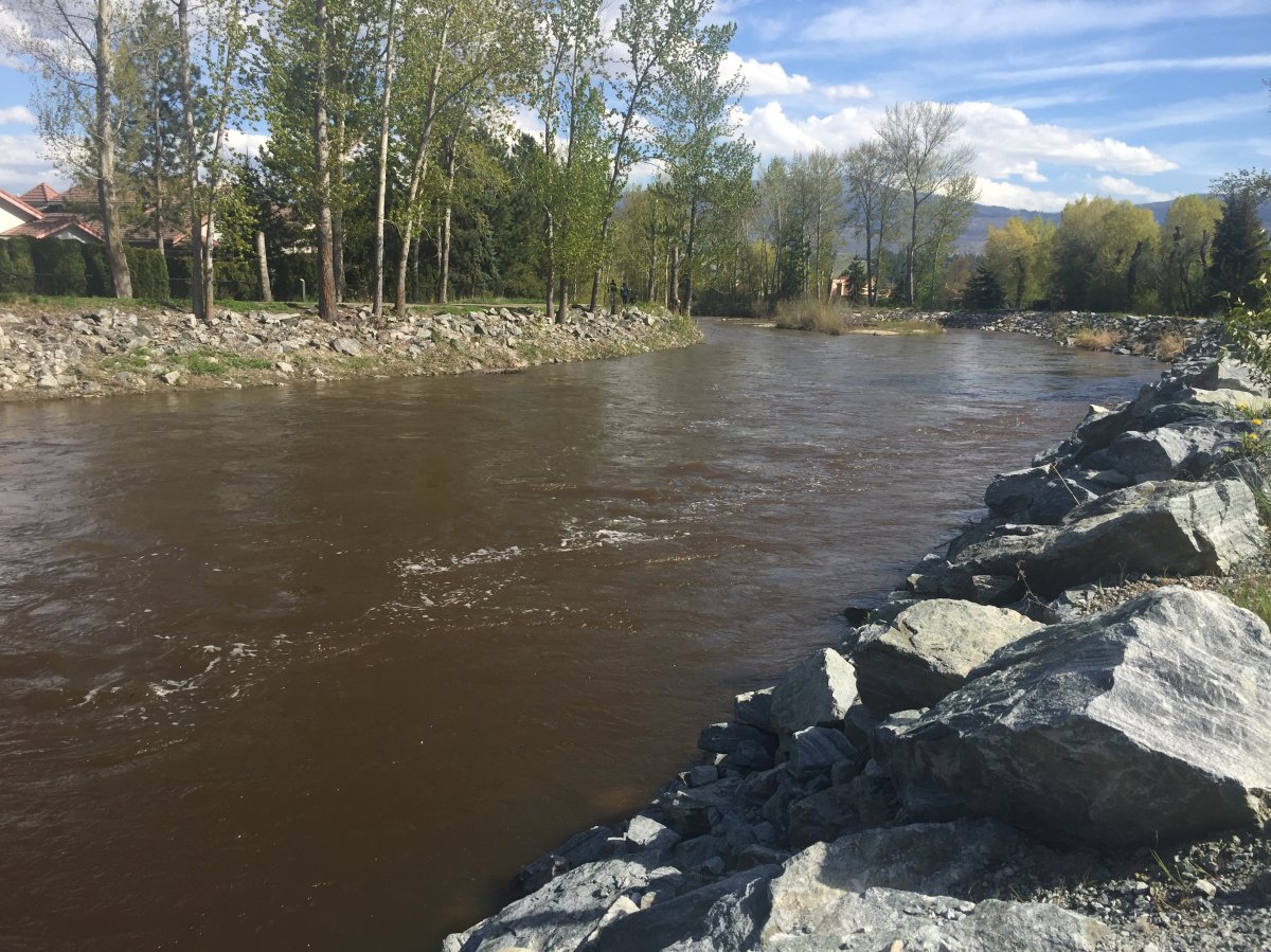
A high streamflow advisory was issued Thursday afternoon by the B.C. River Forecast Centre for Mission Creek and other watersheds in the Okanagan.

The provincial agency says warmer daytime temperatures over the next few days will likely result in significant melting of the mid-elevation snowpack. That combined with possible heavy rains and thunderstorms forecast for Thursday night by Environment Canada could force water levels to rise even more throughout the Okanagan.
The Regional District of Central Okanagan is reminding people living in low-lying and flood prone areas to be prepared for the possibility of flooding.
Information and pamphlets on flood preparedness including a recommended method for sandbag diking are available from the Regional District of Central Okanagan office (1450 KLO Road) and the main City of Kelowna fire hall on Enterprise Way as well as through links on the Be Prepared page on the Regional Emergency Operation Centre website www.cordemergency.ca and the Prepared BC website.


In West Kelowna, Powers Creek has already overflowed its banks. As a result, the city is closing Rotary Trails park until further notice.
The public is also being reminded to exercise caution near creeks and rivers. With the potential for water levels to rise quickly and unexpectedly, people and pets should stay away from creek banks, which may be slippery and unstable due to erosion from the spring runoff.
- ‘Shock and disbelief’ after Manitoba school trustee’s Indigenous comments
- Several baby products have been recalled by Health Canada. Here’s the list
- Canadian food banks are on the brink: ‘This is not a sustainable situation’
- Invasive strep: ‘Don’t wait’ to seek care, N.S. woman warns on long road to recovery
Comments