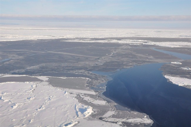
Arctic sea ice reached a record winter low this year — the latest mark in a season that has left scientists gape-mouthed in amazement.

“I’ve never seen such a warm, crazy winter in the Arctic,” said an email from Mark Serreze, director of the U.S.-based National Snow and Ice Data Center. “The heat was relentless.”
READ MORE: February shatters record for warmest month
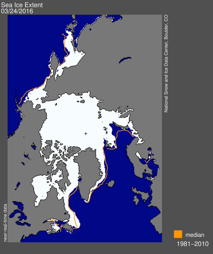
Serreze’s group declared Monday that the maximum extent of sea ice before it begins its spring melt was 20,000 square kilometres less this winter than it has ever been since satellite monitoring began. The record had been set only last year.
WATCH: NASA animation of 2016 record-low Arctic sea ice maximum
The low level was reached after a winter that had scientists doing double takes at the data.

Get daily National news
Temperatures over the Arctic Ocean in December, January and February were 2 C to 6 C above average in nearly every region. Even the North Pole saw above-zero conditions.
The record comes after 10 straight months of all-time high global average temperatures. January and February were so warm they broke records for how much above average they were.
The winter experienced an especially powerful El Niño in the Pacific, which brought mild temperatures to many parts of North America. But scientists discount the influence of the warm ocean current on the Arctic. They point out that previous strong El Niños didn’t produce the kind of warm temperatures the North saw this year.
Some scientists believe the amount of sea ice in the Arctic is related to changes in southern weather.
Less ice, they suggest, affects the path of the jet stream, a high-altitude river of air that flows west to east above the Earth’s middle to northern latitudes. It’s theorized that a “wobbly” jet stream is associated with damaging rains and droughts in middle and southern latitudes.
READ MORE: Reality check: Is Antarctic ice sheet melting or growing?
It’s not clear what impact the low winter coverage will have on ice levels this summer. Low winter maximums are not always followed by equally low summer minimums and much depends on what happens in June.
Arctic sea ice has been declining at about 12 per cent a decade since satellite monitoring began in the late 1970s. The Arctic has been warming at about twice the rate of the rest of the globe and is about four degrees warmer than it was before climate change began.


Comments