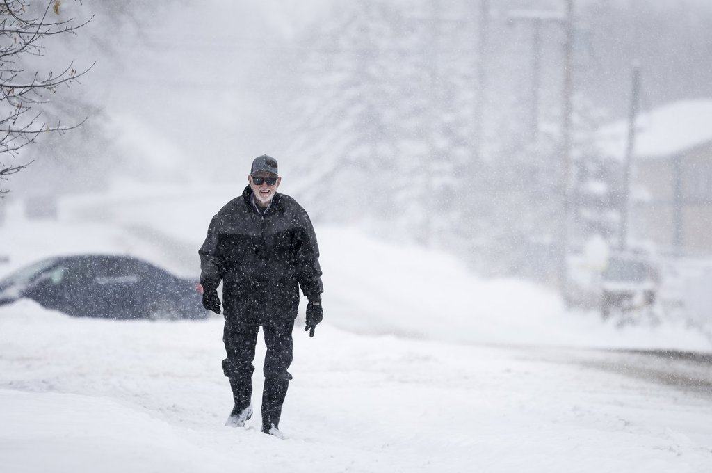
Many parts of north and southeastern Alberta are expected to get a blast of wintry weather Monday.

The weather office says aside from possible breaks, snow is expected to fall until later Monday.
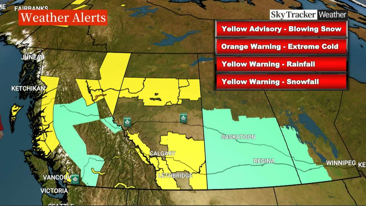
Areas south of Edmonton, such as Red Deer and Medicine Hat, are under a winter storm watch that could bring heavy rain, strong winds and flurries before Tuesday.
Forecasters say the front will bring hazardous conditions and are encouraging people to put off any travel.
“We have a big band of precipitation covering over a big swath of the central and northern Alberta,” said Global Edmonton traffic and weather reporter Daintre Christensen.
“By Thursday morning, we’ll have accumulated approximately 12 centimeters, depending on where you are in the Edmonton region. There will be a snow rain mix down through the Red Deer region, in through the south central areas, southeast central areas of the province, and then down further south, they’ll be dealing with some rain conditions down in through the coronation area as it sweeps out into Saskatchewan,” said Christensen.


The forecast for both Calgary and Lethbridge only calls for a few flurries or showers starting this evening and into Tuesday morning.

Get daily National news
However, Environment Canada has also issued a wind warning for southwestern parts of the province forecasting gusts of up to 80 km/hr expected in the Lethbridge area and up 100 km/hr in the Crowsnest Pass.
The area around Banff is also under a heavy snowfall warning, with up to 15 centimetres expected before it tapers off Tuesday morning.
The heavy snow has also prompted Environment Canada to issue a warning for motorists planning to travel the Icefields Parkway (Highway 93) between Lake Louise and Jasper to be prepared for difficult and rapidly changing driving conditions as the snow begins to accumulate.
Comments
Want to discuss? Please read our Commenting Policy first.