
Winter might be coming back to southern Saskatchewan, as a Colorado low is expected to bring snow throughout the area Wednesday.

Special weather statements have been issued by Environment and Climate Change Canada on Wednesday morning. The agency says 10 to 15 centimetres of snow for parts of southeastern Saskatchewan and western Manitoba could arrive over the next several days.
“Periods of snow will begin this evening in southeastern Saskatchewan and southwestern Manitoba through the Interlake,” Environment Canada said Wednesday. “Snow will end Thursday evening. Total accumulations of 10 to 15 cm in 24 hours are expected with the exception of up to 25 cm near the Riding Mountains.”

Get daily National news
With the snow and potential for freezing rain, things could get slick.
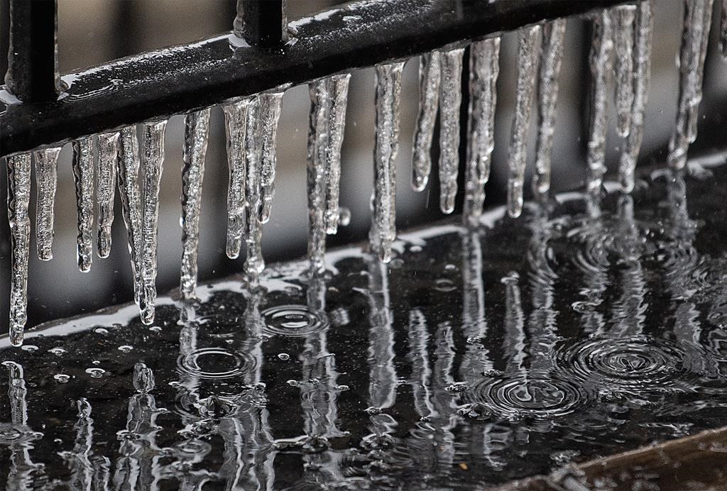
“With the transition of rain to snow and the recent mild temperatures, roads and sidewalks will become slippery. There will also be a risk of freezing rain in the vicinity of this rain-snow line,” Environment Canada said.
- Another spring snowstorm snarls Calgary roads, causes dozens of crashes
- Snow in the forecast for Calgary, Edmonton areas ahead of the long weekend
- ‘Stay connected’: Atlantic Canada’s messy winter has been hard on students, seniors
- Old Man Winter wallops B.C.’s Mainland/Southwest region, major highway closed


Travel conditions in southern Saskatchewan have already started to change. As of 12:15 p.m., Wednesday, winter conditions exist on nearly all highways in the southern part of the province.
Any changes can be found on Saskatchewan’s Highway Hotline.
Regina was not included in the special weather statement but can expect flurries throughout Wednesday and Thursday.
There is also a risk of freezing rain Wednesday afternoon.
Comments
Want to discuss? Please read our Commenting Policy first.