
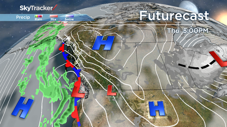
Our weather pattern continues to draw cold air from the north into our region.

Our sky conditions will continue to have clouds and sunny breaks, although many areas will see brighter conditions tomorrow afternoon.
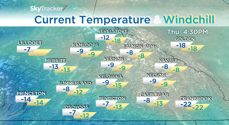
Windchill will be extreme for the Columbia region and other areas near the Rockies.
As for the Okanagan area, we too will see windchill get down to between -15 to -25 at times over the next 24 hours.
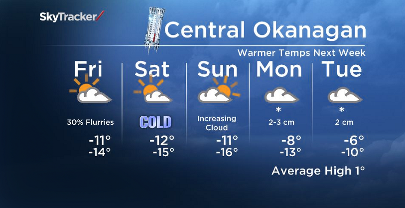
This weekend, expect the coldest temperatures that we’ve seen in a while but some weather models suggest a slightly warmer pattern (finally!) by next week. In the meantime, keep the hot chocolate nearby :)
- Winter’s grip continues across much of Canada; forecasts call for snow, freezing rain
- Strong atmospheric river forecast to hit coastal B.C. as spring break begins
- A blizzard, polar vortex, heat dome and atmospheric river: U.S. faces weather chaos
- Hurricane-strength winds knocked over semi trucks on the Coquihalla Highway


Tonight’s Low: -16 to -12C
Tomorrow’s High: -15 to -8C

Get daily National news
Get daily Canada news delivered to your inbox so you'll never miss the day's top stories.
By providing your email address, you have read and agree to Global News' Terms and Conditions and Privacy Policy.
~Duane/Wesla
Comments
Want to discuss? Please read our Commenting Policy first.