Advertisement

PHOTOS: Wildfires burning around B.C.

The fire burning near Ashcroft. Courtesy: Duane Church.

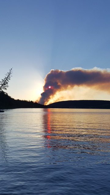
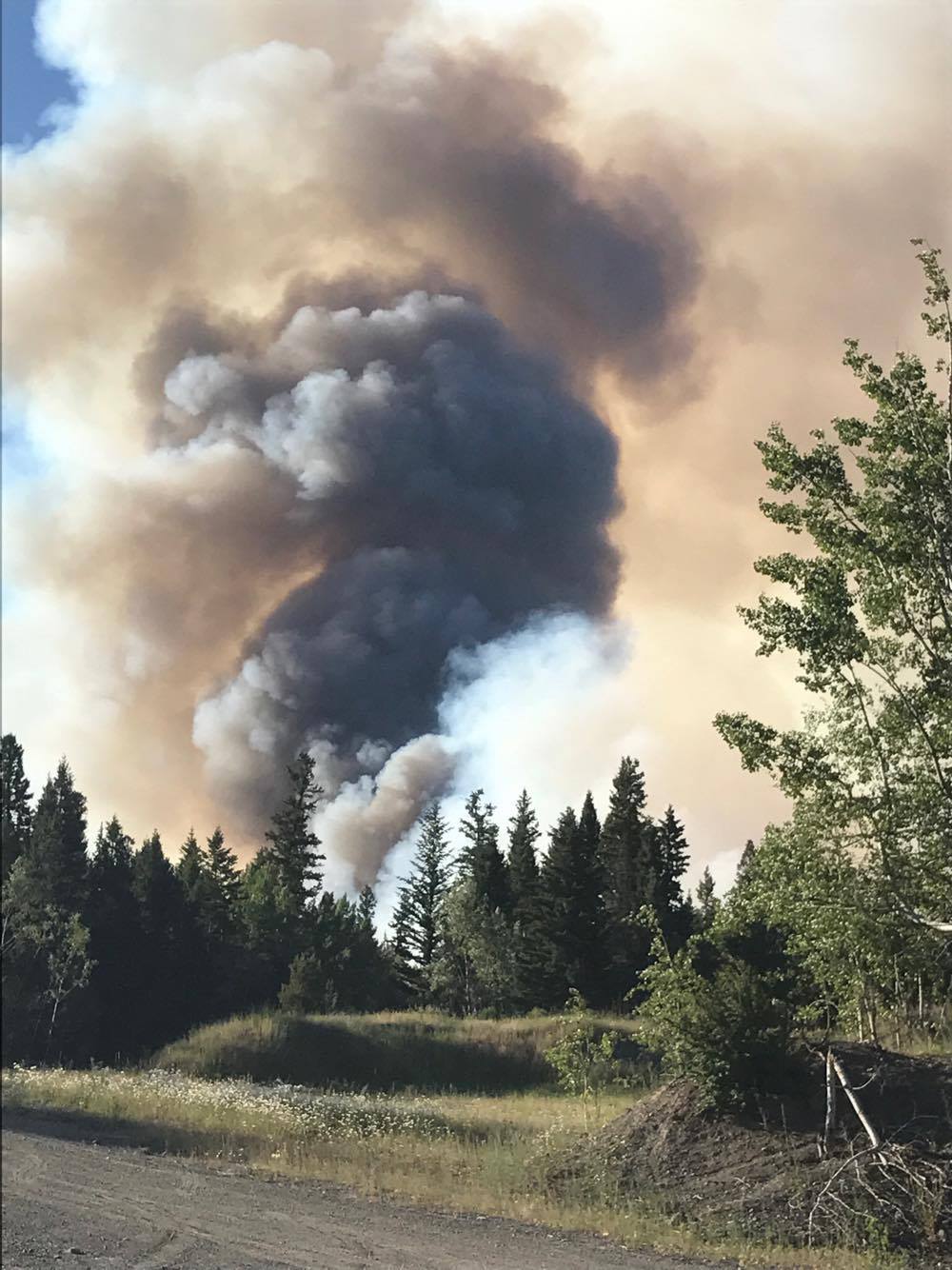
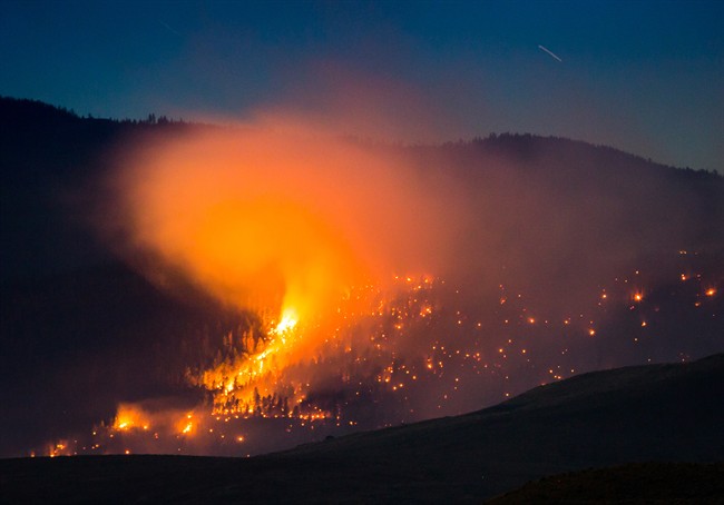
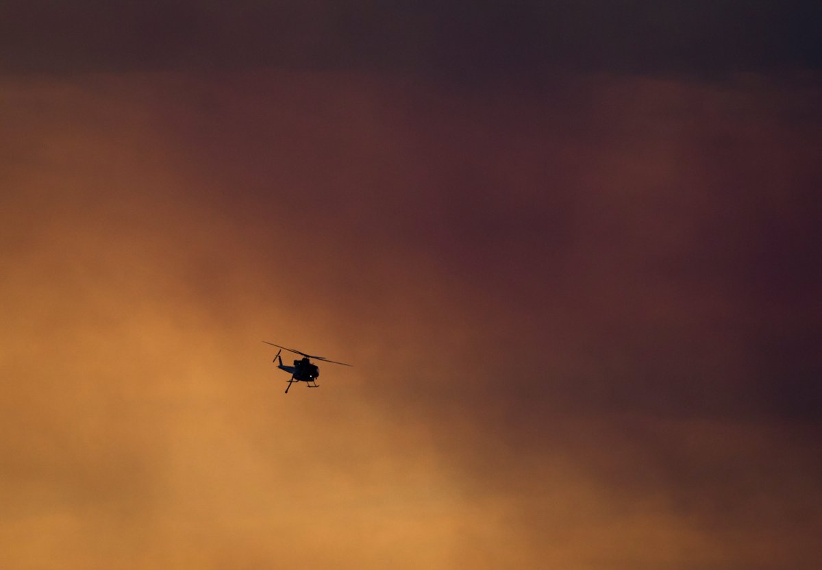
With more than 290 wildfires burning around B.C. on Saturday, residents are sharing images of intense flames, smoke and the hazy conditions created by the fires.

This is a look at some of those images as seen from residents in the communities.
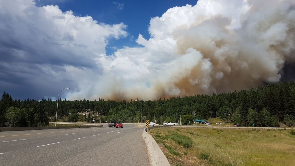
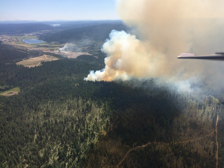
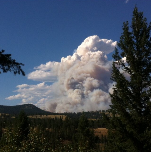
Williams Lake:

There are three major wildfires burning in the area of Williams Lake on Saturday.

A 1,000 hectare fire is burning in the Wildwood area/Williams Lake Airport (YWL), which is just north of Williams Lake. It is zero per cent contained at this time. The cause of the fire is under investigation.

The Williams Lake Airport remains closed to commercial and private aircraft. It is open to firefighting crews only.

The Chief William fire, located at 150 Mile House, which is just south of Williams Lake, is estimated to be about 2,000 hectares in size. It is zero per cent contained at this time.

Story continues below advertisement

Finally, the Spokin Lake Road Fire, burning near Spokin Lake, which is located approximately 20 kilometres east of Williams Lake, is about 100 hectares in size. It is also zero percent contained.

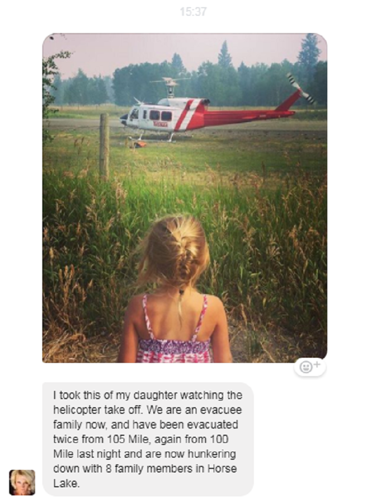
Hundreds of home owners have been evacuated due to these fires.

READ MORE: ‘Driving through a little slice of hell’: B.C. residents post video driving fuel through Williams Lake wildfire

A fire near the Williams Lake airport on July 7, 2017. Global News
A fire burns near the Williams Lake Airport. Global News
Williams Lake. Courtesy: Michael George Sanchez White.
Williams Lake. Courtesy: Lydia Prentice-Clark.
Haze in Williams Lake on Saturday, July 8. Courtesy: Bryan Miller.

Story continues below advertisement

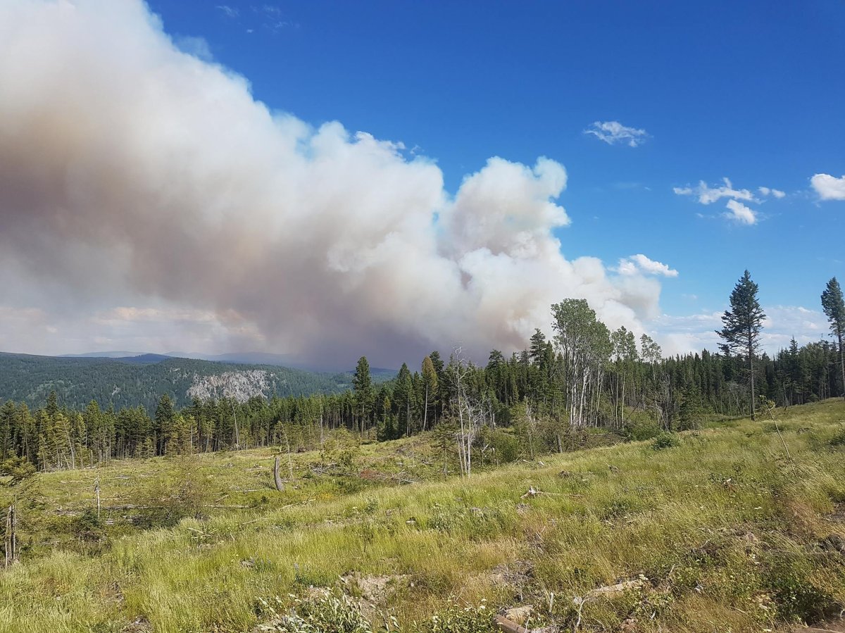
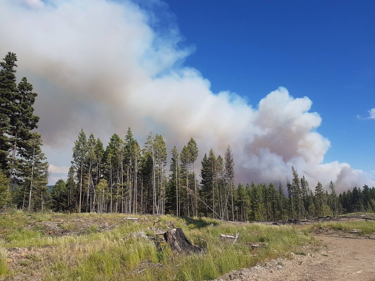
100 Mile House (Gustafsen wildfire):

The Gustafsen wildfire, is burning near the Gustafsen North Forest Service Road, just west of 100 Mile House. It is currently estimated to be 3,200 hectares large but smoke being generated by the fire is making it difficult to ascertain its exact size.  It is zero per cent contained.

Thousands of people have been forced from their homes due to this aggressive wildfire.

After being evacuated twice from 105 Mile, Rywaczuk\’s daughter watches as the helicopter takes off. Jamie Hughes Rywaczuk
A photo of the fire at Horse Lake near 100 Mile House, B.C.
A photo of the fire at Horse Lake near 100 Mile House, B.C. Dave Dickie
Aggressive fire is burning west of 100 Mile House. Tom Schmid
Drone photo of the 260-hectare fire burning west of 100 Mile House. Rob Hibbs
Air and ground crews are battling a forest fire west of 100 Mile House. BC Wildfire Service
Courtesy: Maria Werring Morrow. Courtesy: Maria Werring Morrow
Fire burning near 100 Mile House. Courtesy: Janice Sapp. Courtesy: Janice Sapp
Fire burning near 100 Mile House. Courtesy: Janice Sapp.

Princeton:

Breaking news from Canada and around the world sent to your email, as it happens.

A wildfire burning 10 kilometres northeast of Princeton is estimated to be 1,500 hectares in size and is zero per cent contained.

Story continues below advertisement

A mandatory Evacuation Order now includes 60 total properties. The order includes Highway 5A between Summers Creek Road and Dry Lake, approximately 10 kilometres north of Princeton and the first 20 kilometers of Summer Creek Road.
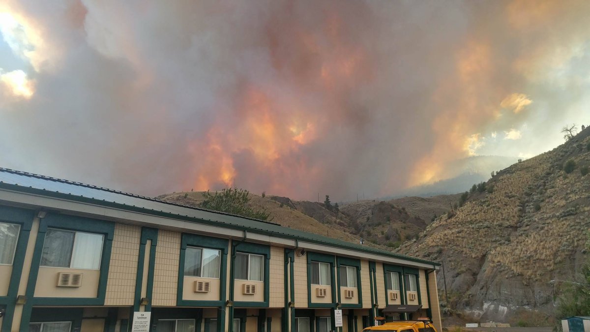
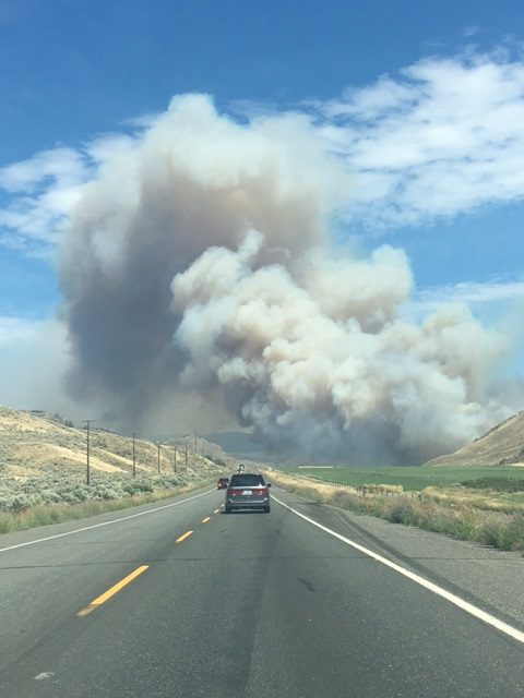
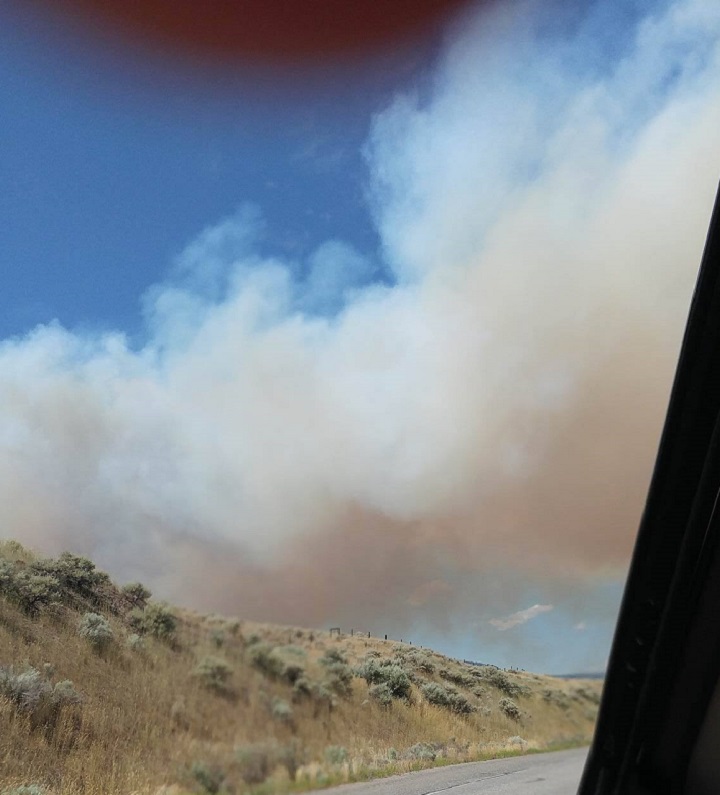
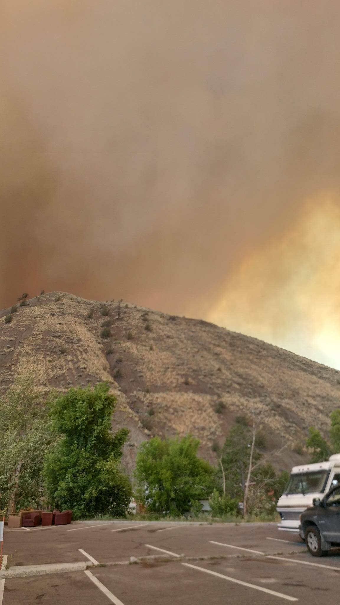
PHOTOS: Wildfires burning around B.C. - image
An aerial photo of the Princeton Wildfire, July 7, 2017. Contributed: John Litherland/ Global Okanagan
The fire burning near Princeton. Courtesy: Orlando Ekkert.

Ashcroft:

A wildfire estimated to be 4,000 hectares in size is burning near Ashcroft.

Story continues below advertisement

Structures have been impacted by this fire but officials say due to poor visibility, it is not possible at this time to determine the number of structures that have been affected.

Smoke is visible from Highway 97C.

The wildfire has prompted an evacuation order for the entire village of Cache Creek.

Ashcroft Hospital has also been temporarily closed.

A wildfire burns on a mountain near Ashcroft, B.C., late Friday July 7, 2017.
A wildfire burns on a mountain near Ashcroft, B.C., late Friday July 7, 2017. THE CANADIAN PRESS/Darryl Dyck
The wildfire burning near Ashcroft on Friday, July 7. The Canadian Press.
A firefighting helicopter flies past smoke in the air from a wildfire burning near Ashcroft, B.C., at sunset on Friday July 7, 2017. THE CANADIAN PRESS/Darryl Dyck
A fire is burning in Ashcroft, B.C.
A fire is burning in Ashcroft, B.C. Jenny Littlewood
A fire is burning in Ashcroft, B.C. Duane Church
Global BC camera operator Pat Bell captured some images of horses fleeing a wildfire near Ashcroft, B.C. Friday afternoon.
The fire burning near Ashcroft. Courtesy: Duane Church.

Sponsored content

AdChoices