
After a wet, dreary start to the month of May, it appears B.C.’s South Coast is finally in for a stretch of warm weather.

Global BC meteorologist Mark Madryga says a ridge of high pressure will slowly build across the South Coast on Wednesday, with drier and warmer weather on the way heading into the Victoria Day long weekend.
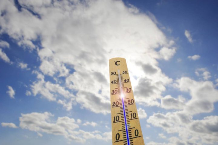
Madryga says after abnormally cool weather of the past couple of days, high temperatures will creep closer to averages for mid-May, which is the mid to upper teens in the Lower Mainland.
The ridge will strengthen on Sunday and will remain strong through next Tuesday or possibly Wednesday.
Temperatures will rise to several degrees above average by Victoria Day, May 22, reaching the low to mid 20’s on the South Coast and the mid to upper 20’s in the Southern Interior.
Madryga says mostly dry weather, although not as warm, will hold later next week as well.
Meanwhile, weather conditions have been unrelenting in many parts of the province.
Evacuation alerts were issued in Lake Country as the region braced for heavy rain and historic flooding last week.
On Monday and Tuesday, a number of highway passes in B.C.’s Interior were hit with snow, with 10 centimetres of snow on the Okanagan Connector.


And for those still craving winter fun, Mother Nature had a surprise present in the form of significant snowfall on the North Shore Mountains Monday night and into Tuesday.

Grouse Mountain has received 25 centimeters of snow overnight and skiing will continue until after Victoria Day long weekend. The skiing season has already wrapped up on the other local mountains.
- Meter mixup: B.C. woman’s power bill swapped with neighbours for over a decade
- Family says probe into B.C. Mountie’s suicide has left no one accountable
- Burnaby RCMP release sketch of man accused of sexually assaulting 80-year-old woman
- ‘I’m gonna push’: First-time B.C. mother delivers her own baby on way to hospital
Comments