
Following the magnitude 5.2 earthquake north of Shawville, Quebec, Global News takes a look at significant earthquakes in Canadian history.

October 27, 2012 – Magnitude 7.7, Haida, Gwaii region, British Columbia
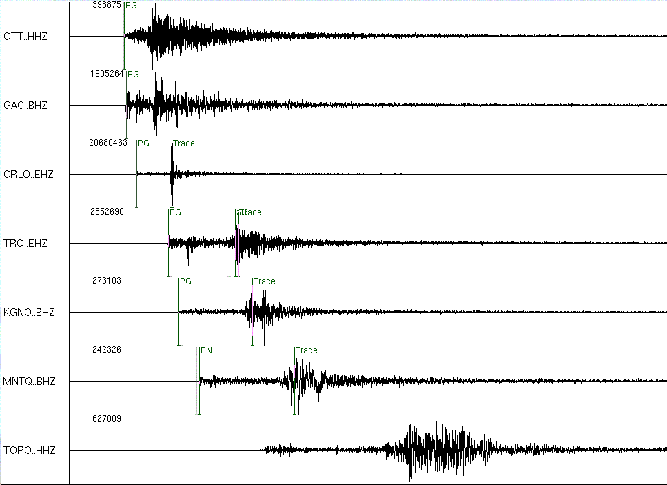
June 23, 2010 – Magnitude 5.0, Val-des-Bois, Quebec
November 17, 2009 – Magnitude 6.6, Haida Gwaii, British Columbia
January 05, 2008 – Magnitude 6.6, Haida Gwaii, British Columbia
March 6, 2005 – Magnitude 4.9, St. Lawrence Valley region, Quebec
November 2, 2004 – Magnitude 6.7, Vancouver Island, British Columbia
December 25, 1989 – Magnitude 6.0, Ungava, Quebec
November 25,1988 – Magnitude 5.9, Saguenay, Quebec
December 23, 1985 – Magnitude 6. 8 Nahanni region, Northwest Territories
June 24, 1970 – Magnitude 7.0, South of Haida Gwaii, British Columbia
August 22, 1949 – Magnitude 8.1, Haida Gwaii, British Columbia
June 23, 1946 – Magnitude 7.3, Vancouver Island, British Columbia
*This was the largest onshore earthquake experienced in Canada. It struck at 10:13 a.m. Sunday to the west of Courtenay and Campbell River, in the Forbidden Plateau area on Vancouver Island. Two deaths are attributed to the quake, according to Natural Resources Canada: one individual drowned after a small boat capsized during a tsunami that followed the quake and one individual in the U.S. city of Seattle died of a heart attack.
Source: Natural Resources Canada
See photos of the damage caused by this earthquake here.
September 5, 1944 – Magnitude 5.8, between Cornawall, Ontario and Massena, New York
November 1, 1935 – Magnitude 6.1, Temiscaming, Quebec
November 20, 1933 – Magnitude 7.4, Baffin Bay
November 18, 1929 – Magnitude 7.2, Grand Banks Newfoundland


*It’s believed 28 people died following the quake, when it struck 250 km south of Newfoundland at 5:02 p.m. NT. The quake itself didn’t cause any of the fatalities, but a tsunami triggered by the tremor struck the Atlantic coasts of Canada and the United States, from Newfoundland as far south as South Carolina (It also struck the west coast of Portugal).
The three tsunami waves that struck the area , two and half hours after the quake, reached heights between two and seven metres. 27 people drowned in Newfoundland’s Bruin Peninsula, while one girl severely injured in the disaster, died four years later.
Source: Natural Resources Canada
See news reports of the tsunami here.
May 26, 1929 – Magnitude 7.0, Haida Gwaii, British Columbia
March 1, 1925 – Magnitude 6.2, Charlevoix-Kamouraska, Quebec
December 6, 1918 – Magnitude7.0, Vancouver Island, British Columbia
January, 26, 1700 – Magnitude 9.0, Cascadia subduction zone (stretching from California to southern British Columbia)
February 05, 1663 – Magnitude 7.0, St. Lawrence Valley region, Quebec
June 6, 1638 – Unmeasured quake, St. Lawrence Region
Comments