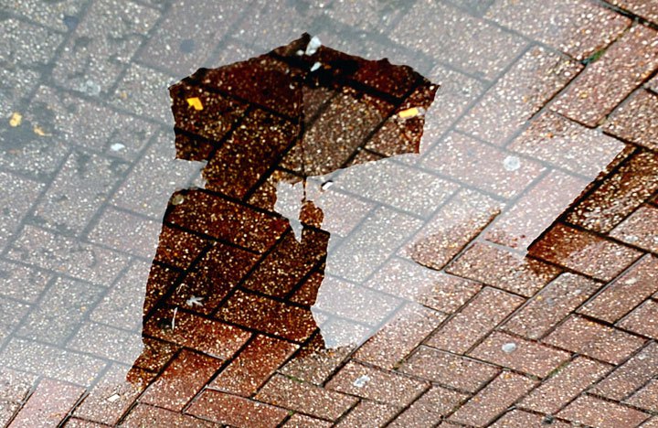
After what turned out to be a very dry summer, the South Coast is looking to wrap up the month of August with heavy rainfall.

Rainfall advisories have now been issued for Metro Vancouver, Howe Sound and Sunshine Coast.
Global BC weather anchor Kate Gajdosik says the total rainfall from June 1 to Aug. 27 added up to just 41.6 millimeters at YVR.
“That puts 2015 as the ninth driest summer on record from the time records began back in 1896,” says Gajdosik.
Gajdosik says, however, we are on target to double the amount of rainfall that Vancouver has seen all summer by Monday.
In Metro Vancouver, heavy rain is expected to develop overnight. Total amounts of 50 to 80 millimetres are forecast for Howe Sound and the North Shore beginning overnight and continuing through Saturday. Another storm system bringing more rain is forecast for Sunday as well, potentially bringing localized flooding in low-lying areas.
But, Marilyn Towill with Metro Vancouver’s water services says it does not mean that Stage 3 water restrictions that have been in effect since July are going away any time soon.
Towill says the restrictions that prohibit non-essential water use are still in place and the rain is not expected to make much difference to the region’s water reservoir levels, which are currently at 55 per cent full.
- Joffre Lakes to close for 3 periods this year under agreement with First Nations
- ‘Why aren’t we doing more?’ White Rock on edge with killer on the loose
- B.C. carjacking victim says she doesn’t trust the ‘catch-and-release’ system
- Inquest into fatal Surrey hostage-taking recommends cameras for ERT teams
“It has not really done anything for out storage levels yet,” says Towill. “We are not expecting, even with the rain over the next he next four days, that it will make a significant difference. So we are expecting to see some recovery, but it is not going to be enough for us to move away from Stage 3 restrictions.”
She says they expect Stage 3 restrictions to remain in effect until September or even into October.
Towill says the public has been cooperative so far in adhering to the regulations and they need residents to continue their water conservation efforts.
Meanwhile, effective today, campfires will once again be permitted throughout the Coastal Fire Centre’s jurisdiction. The ban is being rescinded due to cooler and wetter conditions in the forecast.
However, the South Okangan, where a number of wildfires are currently burning, will not see a lot of rain. The majority of the heavy moisture will be wrung out before it hits the valley, and they may only pick up just shy of 10 millimeters.
The North Okanagan, on the other hand, is still expected to see significant totals.


Comments