
TORONTO – It’s been a beautiful start to the week. But don’t expect it to last: it’s going to get a bit blustery by the end of the day.

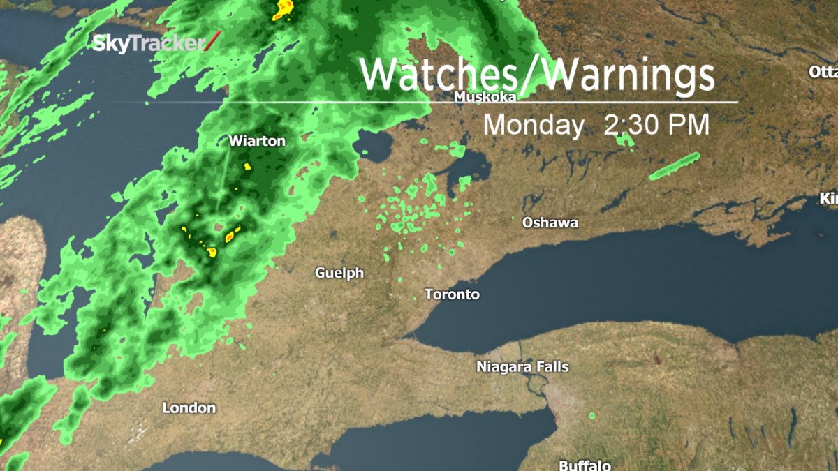
Environment Canada has issued a special weather statement for much of southern Ontario, including the Greater Toronto Area.
A cold front is expected to move into the area this afternoon, bringing strong winds and cooler temperatures. There could be wind gusts of up to 80 km/h or higher which could down some trees and cause power outages.
There is also the possibility of showers and isolated thunderstorms ahead of the cold front.
Environment Canada also warns that brief, heavy downpours are possible and that a few, isolated storms could reach warning criteria.


On Tuesday the temperature is expected to reach 14 C. On Monday, the mercury reached almost 20 C.
A watch is issued when conditions are favourable for severe weather. A warning is when hazardous weather is imminent or occurring.
Comments