


After a hot weekend with daytime highs in the mid-30s C, cooler weather will start the second last week of July.

Clouds will build through the day on Monday with the risk of a late day shower or thunderstorm as temperatures make their way into the mid-20s C.
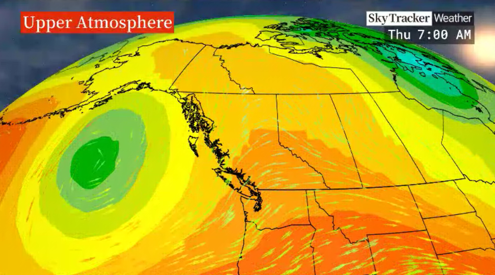
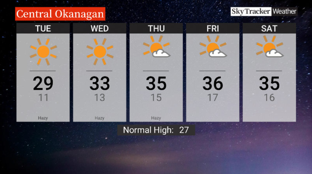
Upper 20 C heat returns Tuesday afternoon under a sunny sky with pure blue skies and sunshine settling in under an upper ridge of high pressure on Wednesday.

Get daily National news
The mercury should shoot into the low-to-mid 30s C Wednesday afternoon before bouncing back into the mid-30s C to finish the week Thursday and Friday under a mostly sunny sky.
Heat and sunshine will stick around into the second last weekend of July with afternoon highs staying the low-to-mid-30s C.


For weather on the go download the Global News SkyTracker Weather App for iPhone, iPad or Android.


Comments
Want to discuss? Please read our Commenting Policy first.