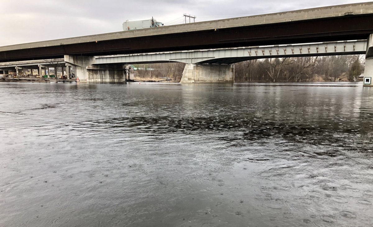
Weekend heavy precipitation has prompted conservation officials to issue another flood watch for the Peterborough-area watercourses.

On Wednesday, Otonabee Conservation issued a flood watch for its jurisdiction, which includes Peterborough, sections of the City of Kawartha Lakes, and the townships of Asphodel-Norwood, Cavan Monaghan, Douro-Dummer, Otonabee-South Monaghan and Selwyn as well as the Municipality of Trent Hills.
The conservation authority says waterways and the headwaters of the Trent-Severn Waterway (Reservoir Lakes/Haliburton Lakes region) will experience milder temperatures along with rain or snow totalling 25 to 35 millimetres starting Friday and continuing Saturday.
“The remaining snow and ice within Otonabee Conservation’s jurisdiction is expected to convert to snowmelt run-off,” said Gord Earle, flood forecasting and warning duty officer. “Melting snow and ice will combine with the forecasted 25 to 35 millimetres of precipitation to cause possible flooding along local watercourses.”
He said the snowmelt and rainfall run-off in the TSW’s headwaters could “significantly accelerate” inflows to the Kawartha Lakes, Otonabee River, Rice Lake, and Trent River.
“By Friday, flows on the Otonabee River will measure 200 cubic metres per second (CMS),” Earle said. “Shortly thereafter the Otonabee River will reach average spring flows of 300 cms. Flooding of low-lying areas along the Otonabee River is expected, starting with localized nuisance level flooding as flows near 300 cms, becoming increasingly more severe and widespread as flows increase above 300 cms.”
Earle said due to the rising water levels and strong winds, the ice cover on the Kawartha Lakes is expected to detach from the shoreline, which could result in ice movement causing shore damage and the chance of ice jamming causing flooding.
The flood watch will remain in effect until at least April. Residents living in low-lying or flood-prone areas are advised to closely watch for possible flooding and to take action to limit or prevent damages due to potential flooding.
Earle said people can stay safe by staying away from lakes, rivers, streams, creeks, wetlands, ditches, culverts and water control structures such as bridges.
Area water level information can be monitored online at:
- Trent-Severn Waterway’s Water Management InfoNet
- Water Survey of Canada Real-Time Hydrometric Data
- Otonabee Region Conservation Authority website
- Satellite built by N.B. students not responding a week after entering Earth’s orbit
- Stuck in B.C. lagoon for weeks, killer whale calf is finally free
- T. Rex an intelligent tool-user and culture-builder? Not so fast, says new U of A research
- Nearly 200 fossil fuel, chemical lobbyists to join plastic treaty talks in Ottawa


Comments