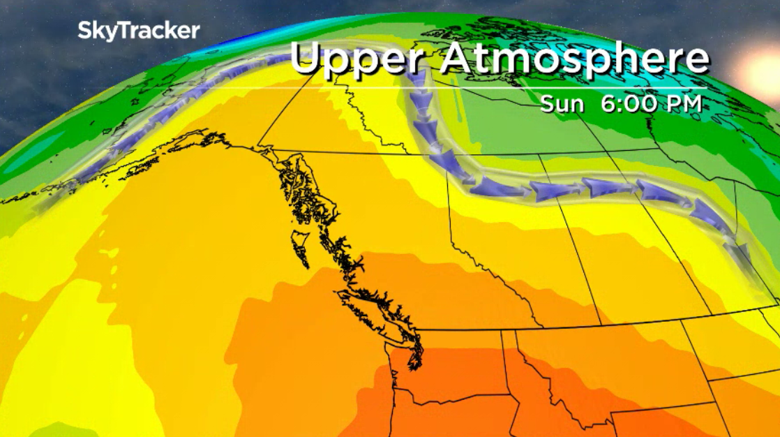
For a second day, Environment Canada is warning the public it’s going to get hot later this week, and that most of B.C. will be impacted.

Billing it as the first hot stretch of summer for the province, the national weather agency says the weather system will first hit eastern Vancouver Island and the Lower Mainland on Friday before moving inland.
The only areas not under a special weather statement for hot weather are western Vancouver Island, the Central and North Coast, Haida Gwaii and areas bordering the Yukon and Northwest Territories.
Temperatures for eastern Vancouver Island, along with Victoria, are expected to hit the upper 20s on Friday, while the South Coast will see daytime highs rising into the low 30s. Temperatures are expected to stay hot until Tuesday.
“There will be some respite from the elevated daytime temperatures as overnight lows fall into the mid-teens,” Environment Canada said.
For the rest of the province, starting Saturday, slightly hotter temperatures are in store.

Get daily National news
From the Fraser Valley through to the Okanagan and Kootenays, along with the Thompson, Cariboo, Chilcotin, Prince George, Bulkley Valley, Prince George and Peace River regions, the mercury is projected to hit the upper 20s before spiking into the mid-30s.

“The B.C. Interior will experience its first stretch of warmer than average temperatures beginning this weekend,” Environment Canada said.
“On Saturday, temperatures will reach into the upper 20s. For the remainder of the weekend and early next week, temperatures will rise into the low-to-mid 30s. Overnight lows will fall to the mid-teens.”
Looking past Tuesday, the national weather agency says temperatures are expected to return to near-normal values by the middle of next week as a cooler, unsettled airmass pushes onshore.

And in weather-related news, Kicking Horse Mountain Resort, which is located near Golden, tweeted that due to snow accumulation in the alpine, the gondola will be closed to mountain biking on Thursday.


Comments
Want to discuss? Please read our Commenting Policy first.