A severe thunderstorm watch is in effect for the southeast corner of B.C., where strong winds, hail and heavy rain may hit the region.

However, for the rest of the province, tamer weather is in the forecast, according to Environment Canada, though rain is projected for many areas.
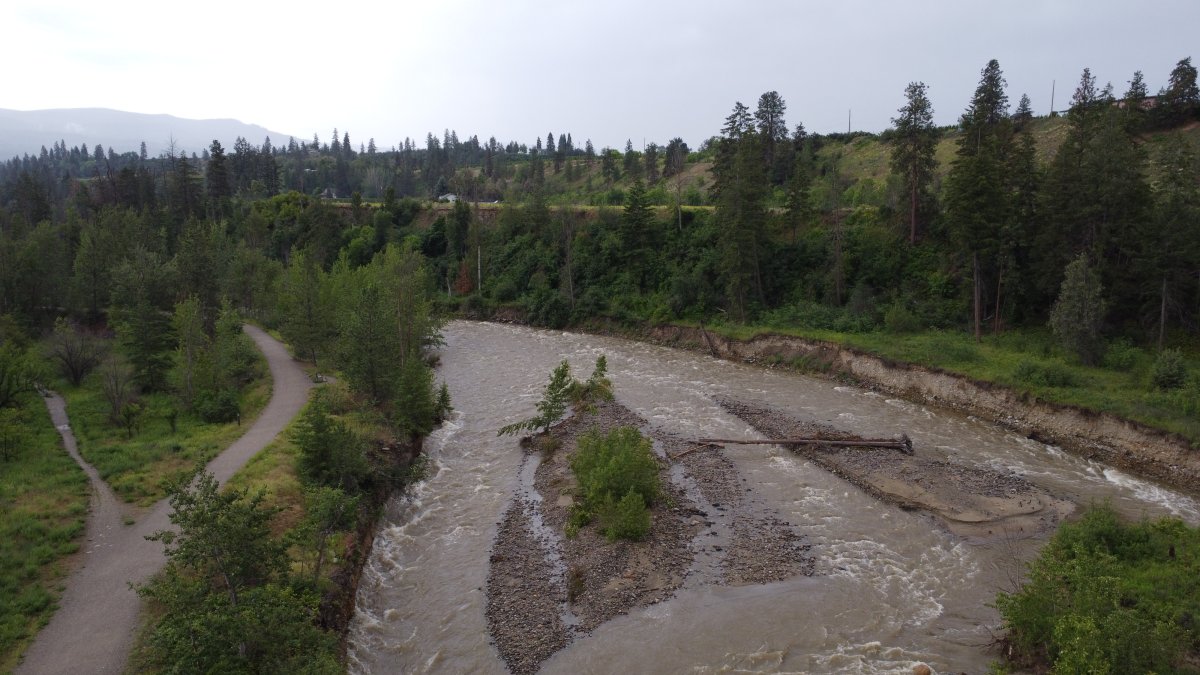
And that has many concerned about higher water levels and potential flooding, which led to provincial officials holding a press conference on Friday.
Armel Castellan of Environment Canada says showers and thunderstorms will become widespread from east of the Okanagan to the Alberta border, with 10-20 mm possible until Saturday.
For the weekend, the national weather agency is calling for unsettled conditions ranging from the Peace River district through the Cariboo and down to the South Coast.
Looking ahead, Environment Canada says next week’s temperatures will be below average for the southern half of the province and near seasonal for the northwestern Interior.
Castellan says temperatures should rise come July, but added “we don’t see a signature for a big or strong heat event in the next couple of weeks.”

Regarding water levels, Dave Campbell of B.C.’s River Forecast Centre says the province is “very much in the middle of the snowmelt freshet season.”

Get daily National news
He says this is the time of year when areas are exposed to increased flooding risks, either from extra rainfall, sudden snowmelt or a mixture of both.
“We’re seeing that continued pattern of elevated snowpacks and delay in melt with the cool weather that we’ve experienced over the last couple of months,” said Campbell.
“Across the province, we’re looking at double the normal snowpack (levels) that we have at this time of the year. And that’s really reflecting that we’re three or four weeks late.”

Campbell said while the snowpack is slowly melting, it’s roughly only halfway through the upper elevation levels.
“We are seeing, particularly in those mountainous areas, that the snowpack remains significant enough to provide an ongoing risk to flooding – particularly in the higher-elevation terrains,” said Campbell.
“We also expect that given the delay in snowpack melt this year, we’re going to continue to see elevated streamflows and above-normal conditions persisting into July.”
A spokesperson from Emergency B.C., Ian Cunnings, said with ongoing risks, it’s important for residents to be prepared of possible flooding.
“It’s important to pay attention to the weather forecast,” said Cunnings, “and equally important to get updates from local authorities.”

Cunnings noted there are approximately 580 people across B.C. who are on evacuation alert because of flooding.
“As of today, there are no evacuation orders in place,” he said. “That said, there are continued risks still ahead of us.”
For the latest on flood warnings and advisories from the province, visit the B.C. River Forecast Centre.


Comments